Distance to Lewisburg, Oregon

Calculating Your Route
Just a moment while we process your request...
Location Information
-
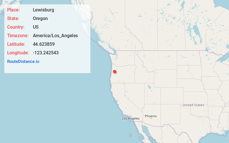
Full AddressLewisburg, OR 97330
-
Coordinates44.6238594, -123.2425433
-
LocationLewisburg , Oregon , US
-
TimezoneAmerica/Los_Angeles
-
Current Local Time3:31:28 AM America/Los_AngelesSaturday, June 21, 2025
-
Page Views0
About Lewisburg
Lewisburg is an unincorporated community in Benton County, Oregon, United States. The center of Lewisburg lies at the intersection of Oregon Route 99W and Lewisburg Avenue at the northeastern corner of Corvallis. As of 2020 it has a population of 569. It is located south of Adair Village and west of Albany.


Nearby Places
Found 10 places within 50 miles

Adair Village
3.5 mi
5.6 km
Adair Village, OR 97330
Get directions

Corvallis
4.2 mi
6.8 km
Corvallis, OR
Get directions

Albany
6.8 mi
10.9 km
Albany, OR
Get directions

Dry Creek
8.4 mi
13.5 km
Dry Creek, OR 97333
Get directions

Philomath
8.4 mi
13.5 km
Philomath, OR 97370
Get directions

Tangent
8.7 mi
14.0 km
Tangent, OR 97389
Get directions
Flynn
9.1 mi
14.6 km
Flynn, OR 97370
Get directions
Airlie
9.7 mi
15.6 km
Airlie, OR 97361
Get directions

Millersburg
9.8 mi
15.8 km
Millersburg, OR 97321
Get directions
Parker
10.4 mi
16.7 km
Parker, OR 97351
Get directions
Location Links
Local Weather
Weather Information
Coming soon!
Location Map
Static map view of Lewisburg, Oregon
Browse Places by Distance
Places within specific distances from Lewisburg
Short Distances
Long Distances
Click any distance to see all places within that range from Lewisburg. Distances shown in miles (1 mile ≈ 1.61 kilometers).