Distance to Lexington, Oklahoma

Calculating Your Route
Just a moment while we process your request...
Location Information
-
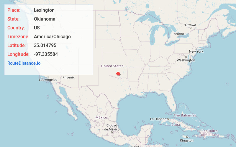
Full AddressLexington, OK 73051
-
Coordinates35.0147945, -97.3355835
-
LocationLexington , Oklahoma , US
-
TimezoneAmerica/Chicago
-
Current Local Time2:01:05 AM America/ChicagoSunday, June 1, 2025
-
Page Views0
About Lexington
Lexington is a city in Cleveland County, Oklahoma, United States. The city population was 2,010 at the 2020 census, a 6.6% decrease from 2010.


Nearby Places
Found 10 places within 50 miles

Purcell
1.4 mi
2.3 km
Purcell, OK
Get directions

Slaughterville
5.0 mi
8.0 km
Slaughterville, OK
Get directions

Noble
9.2 mi
14.8 km
Noble, OK
Get directions

Goldsby
12.5 mi
20.1 km
Goldsby, OK
Get directions

Norman
15.6 mi
25.1 km
Norman, OK
Get directions

Lindsay
19.6 mi
31.5 km
Lindsay, OK 73052
Get directions

Pauls Valley
20.0 mi
32.2 km
Pauls Valley, OK
Get directions

Blanchard
20.1 mi
32.3 km
Blanchard, OK
Get directions

Pink
20.9 mi
33.6 km
Pink, OK
Get directions

Newcastle
21.9 mi
35.2 km
Newcastle, OK
Get directions
Location Links
Local Weather
Weather Information
Coming soon!
Location Map
Static map view of Lexington, Oklahoma
Browse Places by Distance
Places within specific distances from Lexington
Short Distances
Long Distances
Click any distance to see all places within that range from Lexington. Distances shown in miles (1 mile ≈ 1.61 kilometers).