Distance to Lexington, North Carolina

Calculating Your Route
Just a moment while we process your request...
Location Information
-
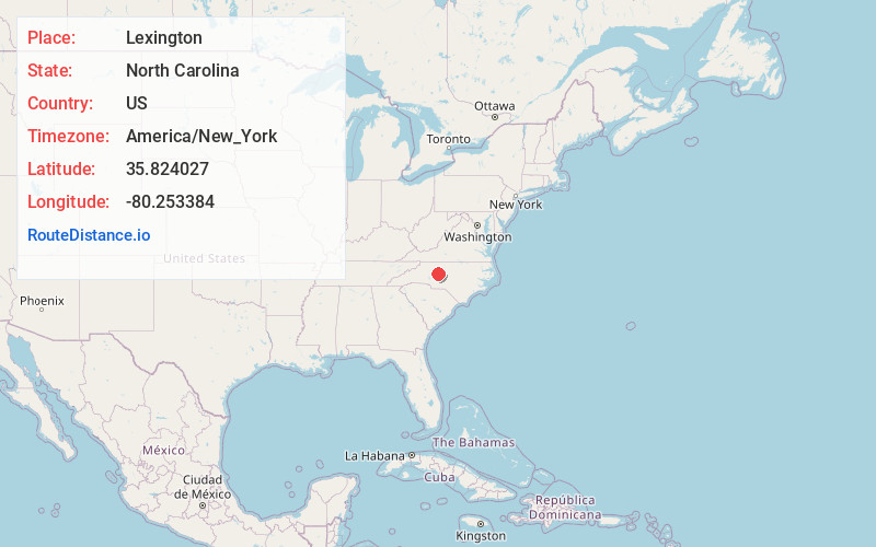
Full AddressLexington, NC
-
Coordinates35.8240265, -80.2533838
-
LocationLexington , North Carolina , US
-
TimezoneAmerica/New_York
-
Current Local Time10:18:50 AM America/New_YorkWednesday, June 18, 2025
-
Website
-
Page Views0
About Lexington
Lexington is the county seat of Davidson County, North Carolina, United States. As of the 2020 census, the town had a population of 19,632. It is located in central North Carolina, 20 miles south of Winston-Salem.


Nearby Places
Found 10 places within 50 miles

Thomasville
10.4 mi
16.7 km
Thomasville, NC 27360
Get directions

Clemmons
15.4 mi
24.8 km
Clemmons, NC
Get directions

Salisbury
16.3 mi
26.2 km
Salisbury, NC
Get directions

High Point
16.6 mi
26.7 km
High Point, NC
Get directions

Winston-Salem
18.7 mi
30.1 km
Winston-Salem, NC
Get directions

Kernersville
22.8 mi
36.7 km
Kernersville, NC
Get directions

Asheboro
25.9 mi
41.7 km
Asheboro, NC
Get directions

Greensboro
31.0 mi
49.9 km
Greensboro, NC
Get directions

Kannapolis
31.1 mi
50.1 km
Kannapolis, NC
Get directions

Concord
34.0 mi
54.7 km
Concord, NC
Get directions
Location Links
Local Weather
Weather Information
Coming soon!
Location Map
Static map view of Lexington, North Carolina
Browse Places by Distance
Places within specific distances from Lexington
Short Distances
Long Distances
Click any distance to see all places within that range from Lexington. Distances shown in miles (1 mile ≈ 1.61 kilometers).