Distance to Leyner, Colorado

Calculating Your Route
Just a moment while we process your request...
Location Information
-
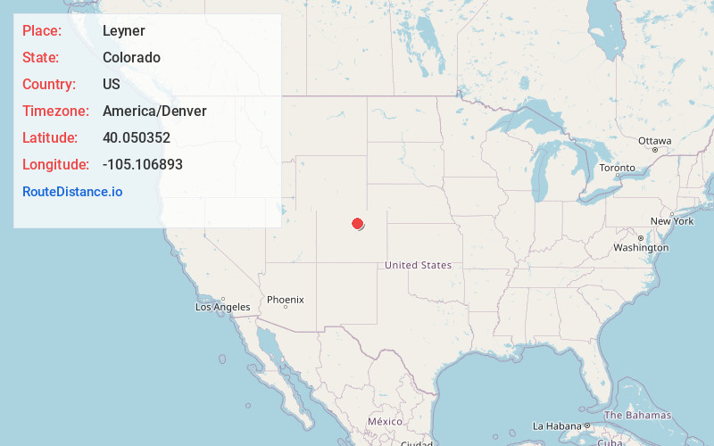
Full AddressLeyner, CO 80026
-
Coordinates40.050352, -105.1068925
-
LocationLeyner , Colorado , US
-
TimezoneAmerica/Denver
-
Current Local Time8:03:51 AM America/DenverThursday, July 3, 2025
-
Page Views0
About Leyner
Leyner is an unincorporated community and a census-designated place located in and governed by Boulder County, Colorado, United States. The CDP is a part of the Boulder, CO Metropolitan Statistical Area. The population of the Leyner CDP was 40 at the United States Census 2020.
Nearby Places
Found 10 places within 50 miles

Erie
3.0 mi
4.8 km
Erie, CO
Get directions

Gunbarrel
3.3 mi
5.3 km
Gunbarrel, CO
Get directions

Lafayette
4.0 mi
6.4 km
Lafayette, CO
Get directions

Niwot
5.0 mi
8.0 km
Niwot, CO 80503
Get directions

Louisville
5.2 mi
8.4 km
Louisville, CO
Get directions

Valmont
5.8 mi
9.3 km
Valmont, CO 80301
Get directions

Paragon Estates
5.9 mi
9.5 km
Paragon Estates, CO 80303
Get directions

Superior
7.5 mi
12.1 km
Superior, CO
Get directions

Longmont
8.1 mi
13.0 km
Longmont, CO
Get directions

Broomfield
9.0 mi
14.5 km
Broomfield, CO
Get directions
Location Links
Local Weather
Weather Information
Coming soon!
Location Map
Static map view of Leyner, Colorado
Browse Places by Distance
Places within specific distances from Leyner
Short Distances
Long Distances
Click any distance to see all places within that range from Leyner. Distances shown in miles (1 mile ≈ 1.61 kilometers).