Distance to Light, Arkansas

Calculating Your Route
Just a moment while we process your request...
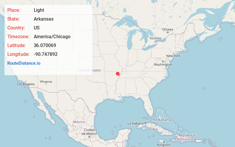
Location Information
-
Full AddressLight, AR 72412
-
Coordinates36.0700694, -90.7478918
-
LocationLight , Arkansas , US
-
TimezoneAmerica/Chicago
-
Current Local Time11:21:52 AM America/ChicagoFriday, June 20, 2025
-
Page Views0
About Light
Light is an unincorporated community in Greene County, Arkansas, United States. Light is located at the junction of U.S. Route 412 and Arkansas Highway 228, 14.5 miles west of Paragould. Light has a post office with ZIP code 72439.
The community is named after Daniel Light, a first settler.
Nearby Places
Found 10 places within 50 miles

Walcott
4.7 mi
7.6 km
Walcott, AR 72450
Get directions

O'Kean
7.8 mi
12.6 km
O'Kean, AR
Get directions
Sedgwick
9.0 mi
14.5 km
Sedgwick, AR
Get directions
Case
9.6 mi
15.4 km
Case, AR 72425
Get directions
Dicus
10.1 mi
16.3 km
Dicus, Walnut Ridge, AR 72476
Get directions
Delaplaine
11.3 mi
18.2 km
Delaplaine, AR 72425
Get directions
College City
11.3 mi
18.2 km
College City, AR 72476
Get directions

Bono
11.5 mi
18.5 km
Bono, AR 72416
Get directions

Walnut Ridge
11.6 mi
18.7 km
Walnut Ridge, AR
Get directions
Hoxie
12.8 mi
20.6 km
Hoxie, AR
Get directions
Location Links
Local Weather
Weather Information
Coming soon!
Location Map
Static map view of Light, Arkansas
Browse Places by Distance
Places within specific distances from Light
Short Distances
Long Distances
Click any distance to see all places within that range from Light. Distances shown in miles (1 mile ≈ 1.61 kilometers).