Distance to Lightstreet, Pennsylvania

Calculating Your Route
Just a moment while we process your request...
Location Information
-
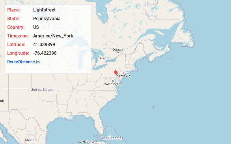
Full AddressLightstreet, PA
-
Coordinates41.039899, -76.4223976
-
LocationLightstreet , Pennsylvania , US
-
TimezoneAmerica/New_York
-
Current Local Time4:37:10 PM America/New_YorkMonday, June 23, 2025
-
Page Views0
About Lightstreet
Lightstreet is a census-designated place in Columbia County, Pennsylvania, United States. It is part of Northeastern Pennsylvania. The population was 1,098 at the 2020 census. It is part of the Bloomsburg-Berwick micropolitan area. The CDP is named after a street in Baltimore.


Nearby Places
Found 10 places within 50 miles

Espy
2.4 mi
3.9 km
Espy, PA 17815
Get directions

Bloomsburg
3.0 mi
4.8 km
Bloomsburg, PA 17815
Get directions

North Centre Township
3.8 mi
6.1 km
North Centre Township, PA
Get directions

South Centre Township
4.4 mi
7.1 km
South Centre Township, PA
Get directions
Main Township
4.9 mi
7.9 km
Main Township, PA
Get directions
Hemlock Township
5.1 mi
8.2 km
Hemlock Township, PA 17815
Get directions

Catawissa
6.4 mi
10.3 km
Catawissa, PA 17820
Get directions
Greenwood
7.2 mi
11.6 km
Greenwood, PA 17846
Get directions
Briar Creek
7.3 mi
11.7 km
Briar Creek, PA 18603
Get directions

Berwick
9.9 mi
15.9 km
Berwick, PA
Get directions
Location Links
Local Weather
Weather Information
Coming soon!
Location Map
Static map view of Lightstreet, Pennsylvania
Browse Places by Distance
Places within specific distances from Lightstreet
Short Distances
Long Distances
Click any distance to see all places within that range from Lightstreet. Distances shown in miles (1 mile ≈ 1.61 kilometers).