Distance to Lilliwaup, Washington

Calculating Your Route
Just a moment while we process your request...
Location Information
-
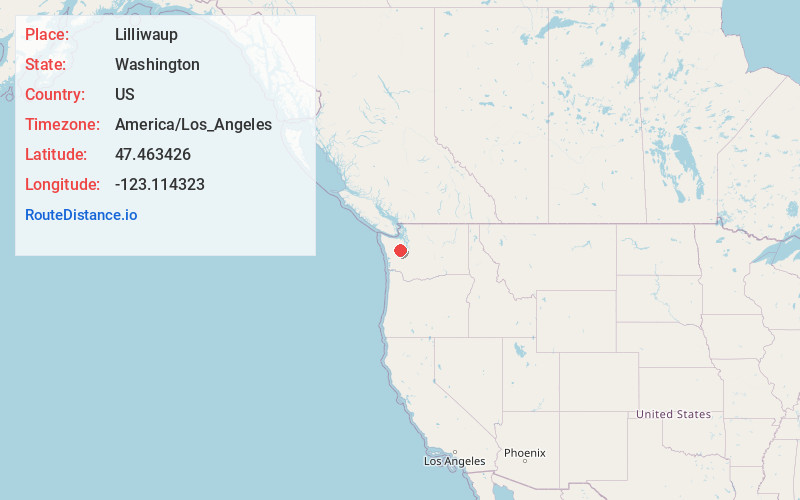
Full AddressLilliwaup, WA 98548
-
Coordinates47.4634257, -123.114323
-
LocationLilliwaup , Washington , US
-
TimezoneAmerica/Los_Angeles
-
Current Local Time5:37:15 PM America/Los_AngelesFriday, June 6, 2025
-
Page Views0
About Lilliwaup
Lilliwaup is a small unincorporated community in Mason County, Washington, United States. It is located on the west shore of Hood Canal at the mouth of Lilliwaup Creek. U.S. Route 101 passes through the town.


Nearby Places
Found 10 places within 50 miles

Hoodsport
4.1 mi
6.6 km
Hoodsport, WA 98548
Get directions

Potlatch
6.2 mi
10.0 km
Potlatch, WA 98584
Get directions

Union
7.5 mi
12.1 km
Union, WA 98592
Get directions

Skokomish
9.2 mi
14.8 km
Skokomish, WA 98584
Get directions

Sunset Beach
11.4 mi
18.3 km
Sunset Beach, WA 98528
Get directions

Grapeview School District
13.4 mi
21.6 km
Grapeview School District, WA
Get directions

Belfair
13.5 mi
21.7 km
Belfair, WA 98528
Get directions

Vaughn
17.1 mi
27.5 km
Vaughn, WA
Get directions

Shelton
17.2 mi
27.7 km
Shelton, WA 98584
Get directions
Maple Beach
17.4 mi
28.0 km
Maple Beach, Seabeck, WA 98380
Get directions
Location Links
Local Weather
Weather Information
Coming soon!
Location Map
Static map view of Lilliwaup, Washington
Browse Places by Distance
Places within specific distances from Lilliwaup
Short Distances
Long Distances
Click any distance to see all places within that range from Lilliwaup. Distances shown in miles (1 mile ≈ 1.61 kilometers).