Distance to Lily, Kentucky

Calculating Your Route
Just a moment while we process your request...
Location Information
-
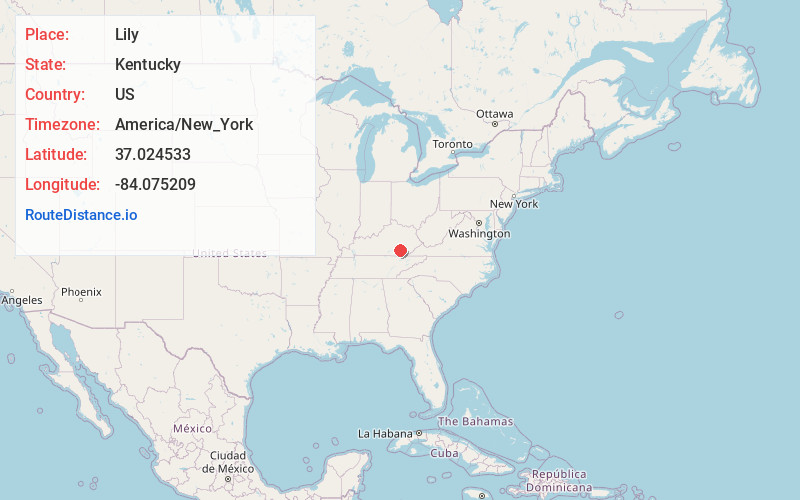
Full AddressLily, KY 40740
-
Coordinates37.0245332, -84.0752089
-
LocationLily , Kentucky , US
-
TimezoneAmerica/New_York
-
Current Local Time12:23:47 PM America/New_YorkThursday, June 19, 2025
-
Page Views0
About Lily
Lily is an unincorporated community and coal town in Laurel County, Kentucky, United States. Their post office has been open since 1881.


Nearby Places
Found 10 places within 50 miles

McHargue
3.5 mi
5.6 km
McHargue, KY 40740
Get directions

North Corbin
4.5 mi
7.2 km
North Corbin, KY 40701
Get directions

Keavy
4.9 mi
7.9 km
Keavy, KY
Get directions

Corbin
5.4 mi
8.7 km
Corbin, KY 40701
Get directions
Hightop
6.2 mi
10.0 km
Hightop, KY 40744
Get directions
Brock
7.2 mi
11.6 km
Brock, KY 40741
Get directions

London
7.2 mi
11.6 km
London, KY
Get directions
Vox
7.3 mi
11.7 km
Vox, KY 40701
Get directions
Tuttle
8.0 mi
12.9 km
Tuttle, KY 40744
Get directions
Woodbine
8.3 mi
13.4 km
Woodbine, KY 40701
Get directions
Location Links
Local Weather
Weather Information
Coming soon!
Location Map
Static map view of Lily, Kentucky
Browse Places by Distance
Places within specific distances from Lily
Short Distances
Long Distances
Click any distance to see all places within that range from Lily. Distances shown in miles (1 mile ≈ 1.61 kilometers).