Distance to Limekiln, Pennsylvania

Calculating Your Route
Just a moment while we process your request...
Location Information
-
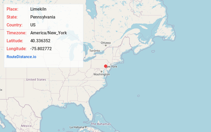
Full AddressLimekiln, PA 19518
-
Coordinates40.3363516, -75.802772
-
LocationLimekiln , Pennsylvania , US
-
TimezoneAmerica/New_York
-
Current Local Time1:15:28 AM America/New_YorkWednesday, June 25, 2025
-
Page Views0
About Limekiln
Limekiln is an unincorporated community in Berks County, Pennsylvania, United States. Limekiln is located at the intersection of Oley Turnpike Road and Limekiln Road on the border of Exeter and Oley townships.
Nearby Places
Found 10 places within 50 miles

Oley Line
0.5 mi
0.8 km
Oley Line, Oley Township, PA 19547
Get directions
Stonersville
1.4 mi
2.3 km
Stonersville, PA 19508
Get directions
Beavers Mill
1.5 mi
2.4 km
Beavers Mill, Oley Township, PA 19547
Get directions
Five Points
2.4 mi
3.9 km
Five Points, PA 19606
Get directions
Jacksonwald
2.6 mi
4.2 km
Jacksonwald, PA 19606
Get directions
Stonetown
2.6 mi
4.2 km
Stonetown, PA 19508
Get directions
Yellow House
2.7 mi
4.3 km
Yellow House, PA 19518
Get directions
Greisemersville
2.8 mi
4.5 km
Greisemersville, Oley Township, PA 19547
Get directions
Spangsville
3.5 mi
5.6 km
Spangsville, Oley Township, PA 19547
Get directions

Stony Creek Mills
3.6 mi
5.8 km
Stony Creek Mills, PA 19606
Get directions
Location Links
Local Weather
Weather Information
Coming soon!
Location Map
Static map view of Limekiln, Pennsylvania
Browse Places by Distance
Places within specific distances from Limekiln
Short Distances
Long Distances
Click any distance to see all places within that range from Limekiln. Distances shown in miles (1 mile ≈ 1.61 kilometers).