Distance to Limp, Kentucky

Calculating Your Route
Just a moment while we process your request...
Location Information
-
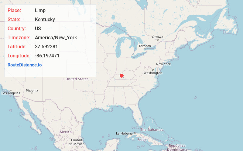
Full AddressLimp, KY 42732
-
Coordinates37.5922807, -86.1974714
-
LocationKentucky , US
-
TimezoneAmerica/New_York
-
Current Local Time5:22:09 AM America/New_YorkTuesday, June 24, 2025
-
Page Views0
About Limp
Limp is an unincorporated community in Hardin County, Kentucky, United States.
A post office called Limp was established in 1884, and remained in operation until it was discontinued in 1934. Limp has been noted for its unusual place name.
Nearby Places
Found 10 places within 50 miles

Big Clifty
4.0 mi
6.4 km
Big Clifty, KY
Get directions

Hudson
5.9 mi
9.5 km
Hudson, KY 40145
Get directions

Clarkson
6.8 mi
10.9 km
Clarkson, KY
Get directions

Eastview
7.8 mi
12.6 km
Eastview, KY 42732
Get directions
Vertrees
8.0 mi
12.9 km
Vertrees, KY 42724
Get directions
Grayson Springs
9.3 mi
15.0 km
Grayson Springs, KY 42754
Get directions

Leitchfield
9.4 mi
15.1 km
Leitchfield, KY 42754
Get directions
White Mills
9.4 mi
15.1 km
White Mills, KY 42788
Get directions
McCoy
10.2 mi
16.4 km
McCoy, KY 42754
Get directions
Horn Back Mill
10.7 mi
17.2 km
Horn Back Mill, KY 42754
Get directions
Location Links
Local Weather
Weather Information
Coming soon!
Location Map
Static map view of Limp, Kentucky
Browse Places by Distance
Places within specific distances from Limp
Short Distances
Long Distances
Click any distance to see all places within that range from Limp. Distances shown in miles (1 mile ≈ 1.61 kilometers).