Distance to Linwood, Michigan

Calculating Your Route
Just a moment while we process your request...
Location Information
-
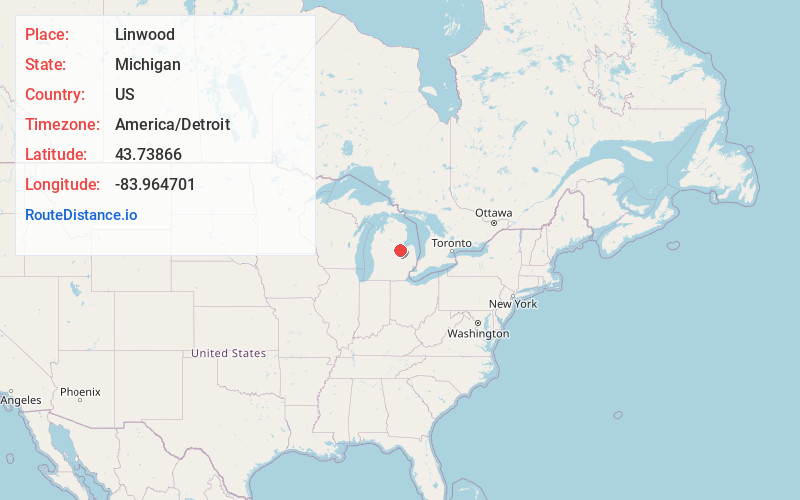
Full AddressLinwood, MI 48634
-
Coordinates43.7386598, -83.9647009
-
LocationLinwood , Michigan , US
-
TimezoneAmerica/Detroit
-
Current Local Time7:44:14 PM America/DetroitSunday, June 22, 2025
-
Page Views0
About Linwood
Linwood is a small unincorporated community in the northern portion of Bay County in the U.S. state of Michigan. The community is on the boundary between Fraser Township on the north and Kawkawlin Township on the south.


Nearby Places
Found 10 places within 50 miles

Kawkawlin Township
3.7 mi
6.0 km
Kawkawlin Township, MI
Get directions

Killarney Beach
3.8 mi
6.1 km
Killarney Beach, Bangor Township, MI 48706
Get directions
Little Killarney Beach
4.4 mi
7.1 km
Little Killarney Beach, Bangor Township, MI 48706
Get directions
Tobico Beach
5.0 mi
8.0 km
Tobico Beach, Bangor Township, MI 48706
Get directions
Lagoon Beach
6.5 mi
10.5 km
Lagoon Beach, Bangor Township, MI 48706
Get directions
Donahue Beach
7.1 mi
11.4 km
Donahue Beach, Bangor Township, MI 48706
Get directions

Pinconning
7.9 mi
12.7 km
Pinconning, MI 48650
Get directions
Willard
8.7 mi
14.0 km
Willard, MI 48611
Get directions
Duel
9.3 mi
15.0 km
Duel, Beaver Township, MI 48642
Get directions

Woodville
9.4 mi
15.1 km
Woodville, MI 48650
Get directions
Location Links
Local Weather
Weather Information
Coming soon!
Location Map
Static map view of Linwood, Michigan
Browse Places by Distance
Places within specific distances from Linwood
Short Distances
Long Distances
Click any distance to see all places within that range from Linwood. Distances shown in miles (1 mile ≈ 1.61 kilometers).