Distance to Litchfield, Nebraska

Calculating Your Route
Just a moment while we process your request...
Location Information
-
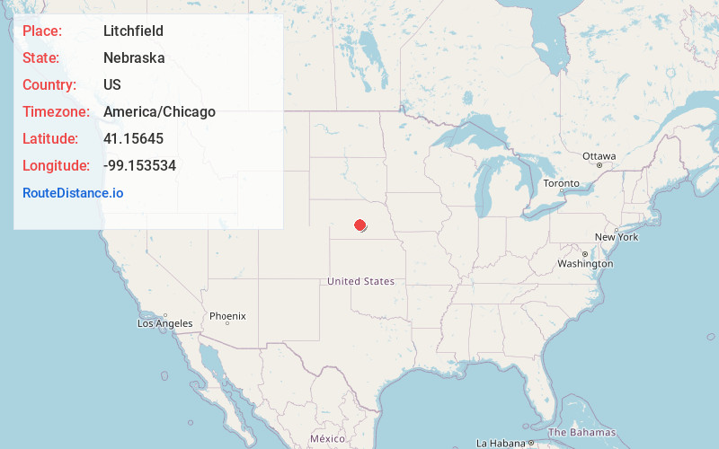
Full AddressLitchfield, NE 68852
-
Coordinates41.1564497, -99.1535342
-
LocationLitchfield , Nebraska , US
-
TimezoneAmerica/Chicago
-
Current Local Time7:17:13 PM America/ChicagoThursday, May 29, 2025
-
Page Views0
About Litchfield
Litchfield is a village in Sherman County, Nebraska, United States. The population was 262 at the 2010 census.

Nearby Places
Found 10 places within 50 miles

Loup City
12.7 mi
20.4 km
Loup City, NE 68853
Get directions

Pleasanton
13.5 mi
21.7 km
Pleasanton, NE 68866
Get directions

Ansley
14.9 mi
24.0 km
Ansley, NE 68814
Get directions

Ravenna
15.4 mi
24.8 km
Ravenna, NE 68869
Get directions
Arcadia
18.5 mi
29.8 km
Arcadia, NE 68815
Get directions
Sumner
23.2 mi
37.3 km
Sumner, NE 68878
Get directions
Riverdale
25.7 mi
41.4 km
Riverdale, NE 68870
Get directions
Glenwood
28.3 mi
45.5 km
Glenwood, NE
Get directions
Cairo
30.4 mi
48.9 km
Cairo, NE 68824
Get directions

Broken Bow
30.5 mi
49.1 km
Broken Bow, NE 68822
Get directions
Location Links
Local Weather
Weather Information
Coming soon!
Location Map
Static map view of Litchfield, Nebraska
Browse Places by Distance
Places within specific distances from Litchfield
Short Distances
Long Distances
Click any distance to see all places within that range from Litchfield. Distances shown in miles (1 mile ≈ 1.61 kilometers).