Distance to Litchfield, Ohio

Calculating Your Route
Just a moment while we process your request...
Location Information
-
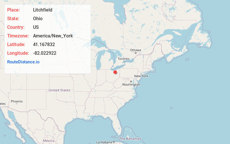
Full AddressLitchfield, OH 44253
-
Coordinates41.1678322, -82.0229219
-
LocationLitchfield , Ohio , US
-
TimezoneAmerica/New_York
-
Current Local Time3:43:51 PM America/New_YorkSunday, May 25, 2025
-
Page Views0
About Litchfield
Litchfield is an unincorporated community in central Litchfield Township, Medina County, Ohio, United States. It is situated at the junction of State Routes 83 and 18, about nine miles northwest of the city of Medina.
A post office called Litchfield has been in operation since 1832.

Nearby Places
Found 10 places within 50 miles

Erhart
3.4 mi
5.5 km
Erhart, Litchfield Township, OH 44253
Get directions
Chatham
4.7 mi
7.6 km
Chatham, OH 44275
Get directions
Belden
4.9 mi
7.9 km
Belden, Grafton Township, OH 44044
Get directions
Mallet Creek
5.1 mi
8.2 km
Mallet Creek, York Township, OH 44256
Get directions
Penfield
5.1 mi
8.2 km
Penfield, OH 44090
Get directions
York Township
5.3 mi
8.5 km
York Township, OH
Get directions
Valley City
6.8 mi
10.9 km
Valley City, OH 44280
Get directions

Lagrange
7.0 mi
11.3 km
Lagrange, OH 44050
Get directions

Spencer
7.0 mi
11.3 km
Spencer, OH 44275
Get directions
Abbeyville
7.4 mi
11.9 km
Abbeyville, OH 44256
Get directions
Location Links
Local Weather
Weather Information
Coming soon!
Location Map
Static map view of Litchfield, Ohio
Browse Places by Distance
Places within specific distances from Litchfield
Short Distances
Long Distances
Click any distance to see all places within that range from Litchfield. Distances shown in miles (1 mile ≈ 1.61 kilometers).