Distance to Litchfield, Connecticut

Calculating Your Route
Just a moment while we process your request...
Location Information
-
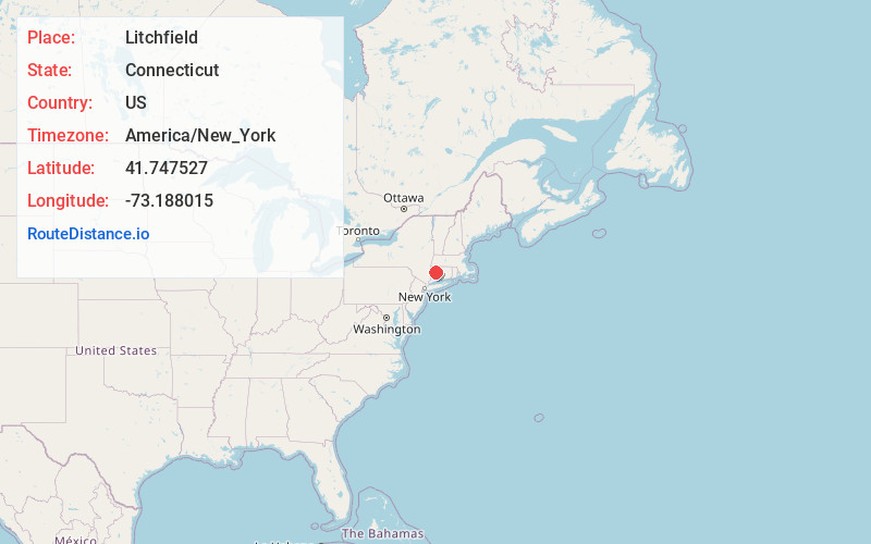
Full AddressLitchfield, CT
-
Coordinates41.7475274, -73.1880152
-
LocationLitchfield , Connecticut , US
-
TimezoneAmerica/New_York
-
Current Local Time11:32:03 AM America/New_YorkFriday, June 6, 2025
-
Page Views0
About Litchfield
Litchfield is a town in and former county seat of Litchfield County, Connecticut, United States. The population was 8,192 at the 2020 census. The town is part of the Northwest Hills Planning Region. The boroughs of Bantam and Litchfield are located within the town.


Nearby Places
Found 10 places within 50 miles

Grappaville
2.8 mi
4.5 km
Grappaville, Litchfield, CT 06750
Get directions
East Litchfield
3.7 mi
6.0 km
East Litchfield, Litchfield, CT 06759
Get directions
Sandy Beach
4.0 mi
6.4 km
Sandy Beach, Morris, CT 06763
Get directions
East Morris
4.1 mi
6.6 km
East Morris, Morris, CT 06763
Get directions
Campville
4.3 mi
6.9 km
Campville, Harwinton, CT 06791
Get directions

Morris
4.5 mi
7.2 km
Morris, CT
Get directions
Milton
4.6 mi
7.4 km
Milton, Litchfield, CT 06759
Get directions

Torrington
5.0 mi
8.0 km
Torrington, CT 06790
Get directions

Goshen
6.1 mi
9.8 km
Goshen, CT
Get directions
West Goshen
6.4 mi
10.3 km
West Goshen, Goshen, CT 06756
Get directions
Location Links
Local Weather
Weather Information
Coming soon!
Location Map
Static map view of Litchfield, Connecticut
Browse Places by Distance
Places within specific distances from Litchfield
Short Distances
Long Distances
Click any distance to see all places within that range from Litchfield. Distances shown in miles (1 mile ≈ 1.61 kilometers).