Distance to Little Manatee River State Park, Florida

Calculating Your Route
Just a moment while we process your request...
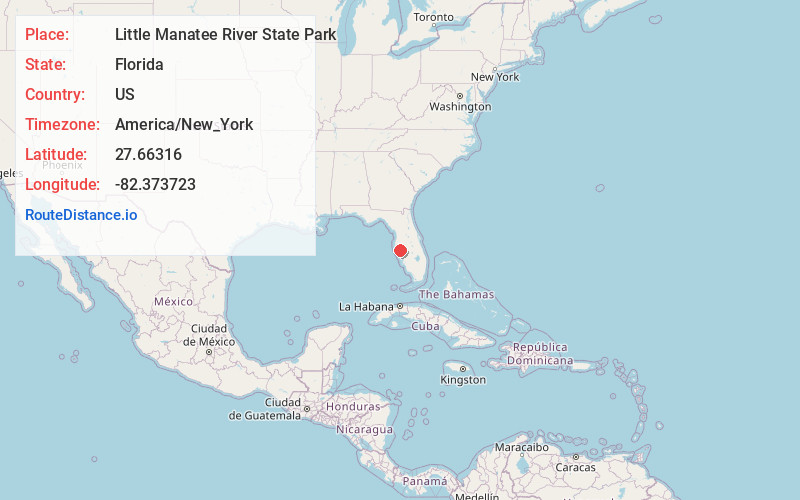
Location Information
-
Full AddressLittle Manatee River State Park, 215 Lightfoot Road, Wimauma, FL 33598
-
Coordinates27.6631604, -82.3737227
-
Street215 Lightfoot Road
-
LocationWimauma , Florida , US
-
TimezoneAmerica/New_York
-
Current Local Time6:48:24 PM America/New_YorkSunday, June 1, 2025
-
Page Views0
About Little Manatee River State Park
Aquatic preserve park featuring a winding river, equestrian trails, campsites, picnicking & fishing.


Nearby Places
Found 10 places within 50 miles

Willow
2.1 mi
3.4 km
Willow, FL 33598
Get directions

Sun City Center
4.0 mi
6.4 km
Sun City Center, FL
Get directions

Ruskin
5.4 mi
8.7 km
Ruskin, FL
Get directions

Wimauma
5.7 mi
9.2 km
Wimauma, FL 33598
Get directions

Parrish
6.1 mi
9.8 km
Parrish, FL 34219
Get directions

North Ruskin
7.1 mi
11.4 km
North Ruskin, Apollo Beach, FL 33572
Get directions

Balm
9.6 mi
15.4 km
Balm, FL
Get directions

Fort Hamer
10.1 mi
16.3 km
Fort Hamer, FL 34219
Get directions
Rye
10.3 mi
16.6 km
Rye, FL 34212
Get directions
Gillette
10.3 mi
16.6 km
Gillette, FL 34221
Get directions
Location Links
Local Weather
Weather Information
Coming soon!
Location Map
Static map view of Little Manatee River State Park, Florida
Browse Places by Distance
Places within specific distances from Little Manatee River State Park
Short Distances
Long Distances
Click any distance to see all places within that range from Little Manatee River State Park. Distances shown in miles (1 mile ≈ 1.61 kilometers).