Distance to Littleton, New Hampshire

Calculating Your Route
Just a moment while we process your request...
Location Information
-
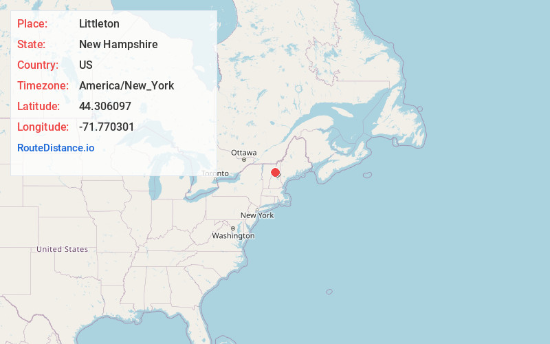
Full AddressLittleton, NH 03561
-
Coordinates44.3060969, -71.7703012
-
LocationLittleton , New Hampshire , US
-
TimezoneAmerica/New_York
-
Current Local Time9:03:05 PM America/New_YorkTuesday, June 3, 2025
-
Page Views0
About Littleton
Littleton is a town in Grafton County, New Hampshire, United States. The population was 6,005 at the 2020 census. Situated at the northern edge of the White Mountains, Littleton is bounded on the northwest by the Connecticut River.


Nearby Places
Found 8 places within 50 miles

St Johnsbury
14.4 mi
23.2 km
St Johnsbury, VT
Get directions

Berlin
31.0 mi
49.9 km
Berlin, NH
Get directions

Barre
37.0 mi
59.5 km
Barre, VT 05641
Get directions

Plymouth
38.2 mi
61.5 km
Plymouth, NH 03264
Get directions

Conway
39.4 mi
63.4 km
Conway, NH
Get directions

Montpelier
40.0 mi
64.4 km
Montpelier, VT 05602
Get directions

Meredith
46.7 mi
75.2 km
Meredith, NH
Get directions

Hanover
49.1 mi
79.0 km
Hanover, NH
Get directions
Location Links
Local Weather
Weather Information
Coming soon!
Location Map
Static map view of Littleton, New Hampshire
Browse Places by Distance
Places within specific distances from Littleton
Short Distances
Long Distances
Click any distance to see all places within that range from Littleton. Distances shown in miles (1 mile ≈ 1.61 kilometers).