Distance to Live Oak, Louisiana

Calculating Your Route
Just a moment while we process your request...
Location Information
-
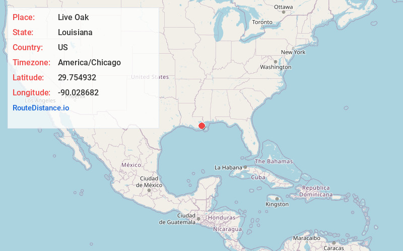
Full AddressLive Oak, LA 70037
-
Coordinates29.7549318, -90.0286823
-
LocationLive Oak , Louisiana , US
-
TimezoneAmerica/Chicago
-
Current Local Time5:37:03 AM America/ChicagoThursday, June 5, 2025
-
Page Views0
Nearby Places
Found 10 places within 50 miles

Jesuit Bend
0.5 mi
0.8 km
Jesuit Bend, LA 70037
Get directions

Ollie
1.1 mi
1.8 km
Ollie, LA 70037
Get directions
Wills Point
1.5 mi
2.4 km
Wills Point, LA 70040
Get directions
Bertrandville
1.5 mi
2.4 km
Bertrandville, LA 70040
Get directions
Star
1.9 mi
3.1 km
Star, LA 70037
Get directions
Oakville
1.9 mi
3.1 km
Oakville, LA 70037
Get directions
Promised Land
3.2 mi
5.1 km
Promised Land, LA 70040
Get directions
Dalcour
4.0 mi
6.4 km
Dalcour, LA 70040
Get directions
Stella
4.9 mi
7.9 km
Stella, LA 70040
Get directions
Alliance
5.4 mi
8.7 km
Alliance, LA 70037
Get directions
Location Links
Local Weather
Weather Information
Coming soon!
Location Map
Static map view of Live Oak, Louisiana
Browse Places by Distance
Places within specific distances from Live Oak
Short Distances
Long Distances
Click any distance to see all places within that range from Live Oak. Distances shown in miles (1 mile ≈ 1.61 kilometers).