Distance to and from Live Oak, Florida
Live Oak, FL
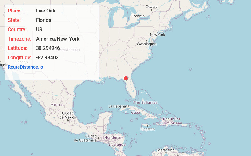
Live Oak
Florida
US
America/New_York
Location Information
-
Full AddressLive Oak, FL
-
Coordinates30.2949457, -82.98402
-
LocationLive Oak , Florida , US
-
TimezoneAmerica/New_York
-
Current Local Time3:51:47 PM America/New_YorkSaturday, May 3, 2025
-
Website
-
Page Views0
Directions to Nearest Cities
About Live Oak
Live Oak is a city and the county seat of Suwannee County, Florida, United States. The city is midway between Tallahassee and Jacksonville. As of 2020, the population recorded by the U.S. Census Bureau was 6,735.
U.S. Highway 90, U.S. Highway 129 and Interstate 10 are major highways running through Live Oak.


Nearby Places
Found 5 places within 50 miles


Location Links
Local Weather
Weather Information
Coming soon!
Location Map
Static map view of Live Oak, Florida
Browse Places by Distance
Places within specific distances from Live Oak
Short Distances
Long Distances
Click any distance to see all places within that range from Live Oak. Distances shown in miles (1 mile ≈ 1.61 kilometers).