Distance to Livengood, Alaska

Calculating Your Route
Just a moment while we process your request...
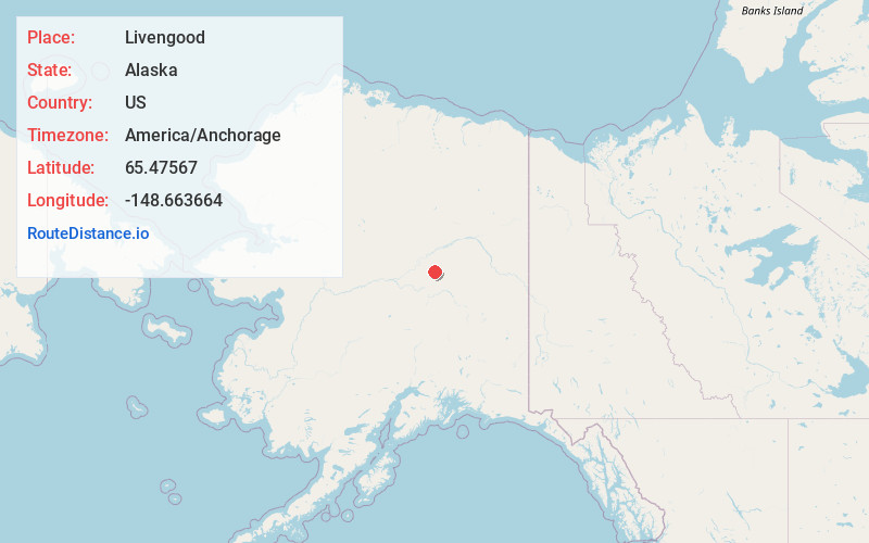
Location Information
-
Full AddressLivengood, AK
-
Coordinates65.4756698, -148.6636636
-
LocationLivengood , Alaska , US
-
TimezoneAmerica/Anchorage
-
Current Local Time11:26:32 PM America/AnchorageWednesday, June 18, 2025
-
Page Views0
About Livengood
Livengood is a census-designated place in Yukon-Koyukuk Census Area, Alaska, United States. The population was 16 at the 2020 census, compared to 13 in 2010 and 29 in 2000.


Nearby Places
Found 6 places within 50 miles

Minto
30.2 mi
48.6 km
Minto, AK
Get directions

Rampart
42.7 mi
68.7 km
Rampart, AK
Get directions

Fox
47.0 mi
75.6 km
Fox, AK 99712
Get directions

Ester
47.9 mi
77.1 km
Ester, AK 99709
Get directions
Farmers Loop
49.0 mi
78.9 km
Farmers Loop, AK
Get directions
College
49.4 mi
79.5 km
College, AK 99709
Get directions
Location Links
Local Weather
Weather Information
Coming soon!
Location Map
Static map view of Livengood, Alaska
Browse Places by Distance
Places within specific distances from Livengood
Short Distances
Long Distances
Click any distance to see all places within that range from Livengood. Distances shown in miles (1 mile ≈ 1.61 kilometers).