Distance to Livingstonville, New York

Calculating Your Route
Just a moment while we process your request...
Location Information
-
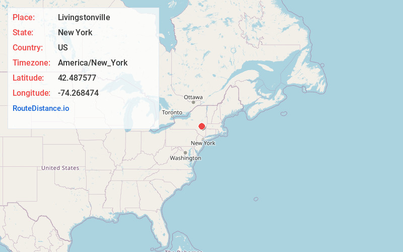
Full AddressLivingstonville, NY 12469
-
Coordinates42.4875771, -74.2684741
-
LocationLivingstonville , New York , US
-
TimezoneAmerica/New_York
-
Current Local Time10:09:36 PM America/New_YorkMonday, June 2, 2025
-
Page Views0
About Livingstonville
Livingstonville is a hamlet within the town of Broome in Schoharie County, New York, United States. It is inhabited by a small but decreasing population.
Nearby Places
Found 10 places within 50 miles

Hawversville
2.3 mi
3.7 km
Hawversville, Broome, NY 12122
Get directions
Franklinton
2.9 mi
4.7 km
Franklinton, Broome, NY 12122
Get directions

Preston-Potter Hollow
4.1 mi
6.6 km
Preston-Potter Hollow, NY
Get directions
Broome Center
4.5 mi
7.2 km
Broome Center, Gilboa, NY 12076
Get directions
Cooksburg
5.6 mi
9.0 km
Cooksburg, Preston-Potter Hollow, NY 12469
Get directions
Huntersland
5.8 mi
9.3 km
Huntersland, NY 12122
Get directions

Rensselaerville Falls
6.6 mi
10.6 km
Rensselaerville Falls, Rensselaerville, NY 12147
Get directions
Manorkill
7.3 mi
11.7 km
Manorkill, Conesville, NY 12076
Get directions
Owlsville
7.8 mi
12.6 km
Owlsville, Gilboa, NY 12076
Get directions

Middleburgh
8.3 mi
13.4 km
Middleburgh, NY
Get directions
Location Links
Local Weather
Weather Information
Coming soon!
Location Map
Static map view of Livingstonville, New York
Browse Places by Distance
Places within specific distances from Livingstonville
Short Distances
Long Distances
Click any distance to see all places within that range from Livingstonville. Distances shown in miles (1 mile ≈ 1.61 kilometers).