Distance to Lizella, Georgia

Calculating Your Route
Just a moment while we process your request...
Location Information
-
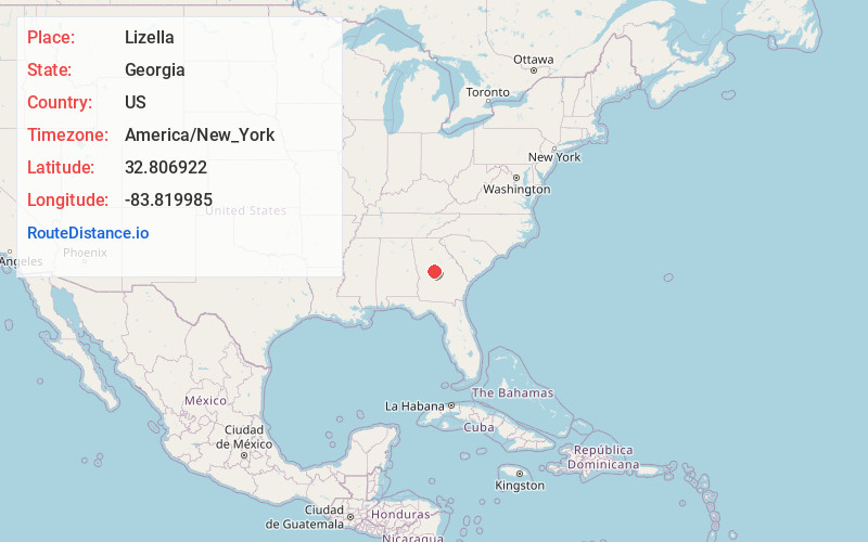
Full AddressLizella, GA 31052
-
Coordinates32.8069216, -83.819985
-
LocationLizella , Georgia , US
-
TimezoneAmerica/New_York
-
Current Local Time8:52:36 AM America/New_YorkSunday, June 1, 2025
-
Page Views0
About Lizella
Lizella ly-ZEL-ə is an unincorporated community in Bibb and Crawford counties in the U.S. state of Georgia. approximately 11 miles southwest of Macon, It is part of the Macon Metropolitan Statistical Area.
U.S. Route 80 passes through Lizella.
Nearby Places
Found 10 places within 50 miles

Whispering Pines
5.1 mi
8.2 km
Whispering Pines, GA 31220
Get directions
Skipperton
8.6 mi
13.8 km
Skipperton, GA 31216
Get directions
Bolingbroke
9.7 mi
15.6 km
Bolingbroke, GA
Get directions
Terra Cotta
10.4 mi
16.7 km
Terra Cotta, Macon, GA 31206
Get directions
Rutland
10.6 mi
17.1 km
Rutland, GA 31216
Get directions
Dyas
10.9 mi
17.5 km
Dyas, GA 31016
Get directions
Arkwright
11.0 mi
17.7 km
Arkwright, GA 31210
Get directions

Macon
11.1 mi
17.9 km
Macon, GA
Get directions

Byron
11.1 mi
17.9 km
Byron, GA 31008
Get directions
Sofkee
11.2 mi
18.0 km
Sofkee, GA 31216
Get directions
Location Links
Local Weather
Weather Information
Coming soon!
Location Map
Static map view of Lizella, Georgia
Browse Places by Distance
Places within specific distances from Lizella
Short Distances
Long Distances
Click any distance to see all places within that range from Lizella. Distances shown in miles (1 mile ≈ 1.61 kilometers).