Distance to Loachapoka, Alabama

Calculating Your Route
Just a moment while we process your request...
Location Information
-
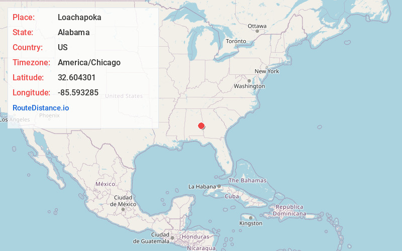
Full AddressLoachapoka, AL
-
Coordinates32.6043008, -85.5932854
-
LocationLoachapoka , Alabama , US
-
TimezoneAmerica/Chicago
-
Current Local Time10:45:48 AM America/ChicagoWednesday, June 18, 2025
-
Website
-
Page Views0
About Loachapoka
Loachapoka is a town in Lee County, Alabama, United States. It is located less than 1/2 mile west of Auburn and approximately 5 miles west of Auburn University, in west-central Lee County. The population was 180 as of the 2010 Census. It is part of the Auburn metropolitan area.

Nearby Places
Found 10 places within 50 miles

Notasulga
5.5 mi
8.9 km
Notasulga, AL
Get directions

Auburn
6.6 mi
10.6 km
Auburn, AL
Get directions

Waverly
9.1 mi
14.6 km
Waverly, AL
Get directions

Reeltown
12.3 mi
19.8 km
Reeltown, AL 36078
Get directions

Opelika
12.8 mi
20.6 km
Opelika, AL
Get directions

Tuskegee
13.8 mi
22.2 km
Tuskegee, AL
Get directions

Camp Hill
14.0 mi
22.5 km
Camp Hill, AL 36850
Get directions
Franklin
15.0 mi
24.1 km
Franklin, AL 36083
Get directions

Tallassee
18.1 mi
29.1 km
Tallassee, AL 36078
Get directions

Dadeville
18.5 mi
29.8 km
Dadeville, AL
Get directions
Location Links
Local Weather
Weather Information
Coming soon!
Location Map
Static map view of Loachapoka, Alabama
Browse Places by Distance
Places within specific distances from Loachapoka
Short Distances
Long Distances
Click any distance to see all places within that range from Loachapoka. Distances shown in miles (1 mile ≈ 1.61 kilometers).