Distance to Lock Haven, Pennsylvania

Calculating Your Route
Just a moment while we process your request...
Location Information
-
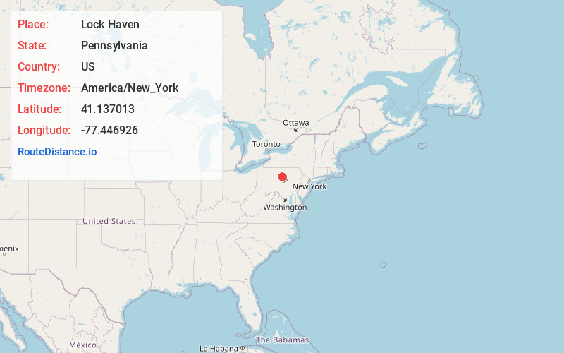
Full AddressLock Haven, PA 17745
-
Coordinates41.1370133, -77.4469263
-
LocationLock Haven , Pennsylvania , US
-
TimezoneAmerica/New_York
-
Current Local Time2:48:49 PM America/New_YorkWednesday, June 18, 2025
-
Website
-
Page Views0
About Lock Haven
Lock Haven is a city in, and the county seat of, Clinton County, in the U.S. state of Pennsylvania. Located near the confluence of the West Branch Susquehanna River and Bald Eagle Creek, it is the ...


Nearby Places
Found 10 places within 50 miles

Spring Township
22.6 mi
36.4 km
Spring Township, PA
Get directions

Williamsport
24.3 mi
39.1 km
Williamsport, PA 17701
Get directions

State College
32.1 mi
51.7 km
State College, PA
Get directions

Park Forest Village
33.5 mi
53.9 km
Park Forest Village, PA
Get directions
Antrim
35.3 mi
56.8 km
Antrim, PA 16901
Get directions

Ferguson Township
36.2 mi
58.3 km
Ferguson Township, PA
Get directions
Kennedy
37.5 mi
60.4 km
Kennedy, Delmar Township, PA 16901
Get directions

Lewistown
37.7 mi
60.7 km
Lewistown, PA 17044
Get directions

Sunbury
39.0 mi
62.8 km
Sunbury, PA 17801
Get directions

Loyalsock State Forest
45.7 mi
73.5 km
Loyalsock State Forest, Fox Township, PA 18616
Get directions
Location Links
Local Weather
Weather Information
Coming soon!
Location Map
Static map view of Lock Haven, Pennsylvania
Browse Places by Distance
Places within specific distances from Lock Haven
Short Distances
Long Distances
Click any distance to see all places within that range from Lock Haven. Distances shown in miles (1 mile ≈ 1.61 kilometers).