Distance to Lock Seventeen, Ohio

Calculating Your Route
Just a moment while we process your request...
Location Information
-
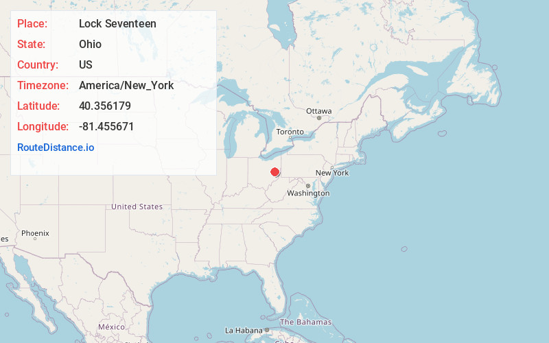
Full AddressLock Seventeen, Clay Township, OH 44629
-
Coordinates40.3561785, -81.4556706
-
LocationClay Township , Ohio , US
-
TimezoneAmerica/New_York
-
Current Local Time10:43:44 PM America/New_YorkSaturday, May 31, 2025
-
Page Views0
Nearby Places
Found 10 places within 50 miles

Gnadenhutten
1.1 mi
1.8 km
Gnadenhutten, OH 44629
Get directions

Tuscarawas
3.7 mi
6.0 km
Tuscarawas, OH
Get directions

Port Washington
3.9 mi
6.3 km
Port Washington, OH 43837
Get directions
Wainwright
4.5 mi
7.2 km
Wainwright, Warwick Township, OH 44663
Get directions
Gilmore
4.6 mi
7.4 km
Gilmore, Washington Township, OH 43837
Get directions

Stone Creek
6.3 mi
10.1 km
Stone Creek, OH
Get directions

Uhrichsville
6.3 mi
10.1 km
Uhrichsville, OH 44683
Get directions
Midvale
7.1 mi
11.4 km
Midvale, OH
Get directions
Bernice
7.2 mi
11.6 km
Bernice, Washington Township, OH 43832
Get directions
Brightwood
7.2 mi
11.6 km
Brightwood, Goshen Township, OH 44663
Get directions
Location Links
Local Weather
Weather Information
Coming soon!
Location Map
Static map view of Lock Seventeen, Ohio
Browse Places by Distance
Places within specific distances from Lock Seventeen
Short Distances
Long Distances
Click any distance to see all places within that range from Lock Seventeen. Distances shown in miles (1 mile ≈ 1.61 kilometers).