Distance to Lockhart, Minnesota

Calculating Your Route
Just a moment while we process your request...
Location Information
-
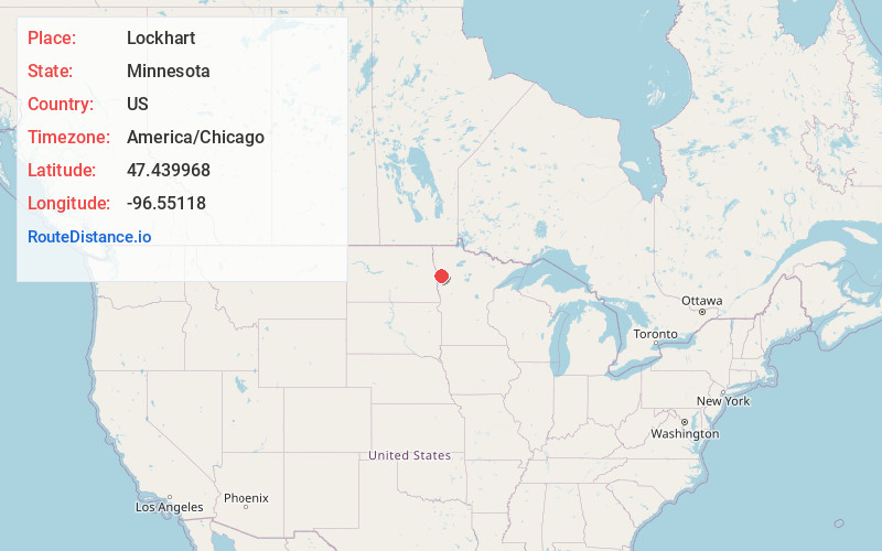
Full AddressLockhart, MN 56510
-
Coordinates47.439968, -96.5511797
-
LocationLockhart , Minnesota , US
-
TimezoneAmerica/Chicago
-
Current Local Time12:17:52 AM America/ChicagoFriday, June 20, 2025
-
Page Views0
About Lockhart
Lockhart is an unincorporated community in Norman County, Minnesota, United States.
The community is located between Ada and Crookston near Minnesota State Highway 9 at County Road 22.
Nearby Places
Found 10 places within 50 miles

Beltrami
7.1 mi
11.4 km
Beltrami, MN 56517
Get directions

Ada
9.8 mi
15.8 km
Ada, MN 56510
Get directions
Shelly
12.6 mi
20.3 km
Shelly, MN 56581
Get directions
Nielsville
13.8 mi
22.2 km
Nielsville, MN 56568
Get directions

Gary
14.1 mi
22.7 km
Gary, MN 56545
Get directions
Halstad
14.3 mi
23.0 km
Halstad, MN 56548
Get directions

Fertile
14.3 mi
23.0 km
Fertile, MN 56540
Get directions
Caledonia
15.7 mi
25.3 km
Caledonia, ND
Get directions

Climax
17.0 mi
27.4 km
Climax, MN 56523
Get directions
Hendrum
17.2 mi
27.7 km
Hendrum, MN 56550
Get directions
Location Links
Local Weather
Weather Information
Coming soon!
Location Map
Static map view of Lockhart, Minnesota
Browse Places by Distance
Places within specific distances from Lockhart
Short Distances
Long Distances
Click any distance to see all places within that range from Lockhart. Distances shown in miles (1 mile ≈ 1.61 kilometers).