Distance to Lockhart Oil Field, South Carolina

Calculating Your Route
Just a moment while we process your request...
Location Information
-
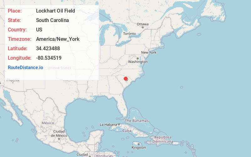
Full AddressLockhart Oil Field, SC 29067
-
Coordinates34.4234875, -80.5345191
-
LocationSouth Carolina , US
-
TimezoneAmerica/New_York
-
Current Local Time9:54:52 AM America/New_YorkSaturday, June 21, 2025
-
Page Views0
Nearby Places
Found 10 places within 50 miles

Clyburn
3.7 mi
6.0 km
Clyburn, SC 29020
Get directions
Barfield Mill
4.2 mi
6.8 km
Barfield Mill, SC 29067
Get directions
Kirkley Mill
5.3 mi
8.5 km
Kirkley Mill, SC 29067
Get directions
Abney Crossroads
6.0 mi
9.7 km
Abney Crossroads, SC 29067
Get directions
Shepard
6.9 mi
11.1 km
Shepard, SC 29032
Get directions
Shamokin
7.8 mi
12.6 km
Shamokin, SC 29020
Get directions
Coats Crossroad
8.3 mi
13.4 km
Coats Crossroad, SC 29067
Get directions
Minton Mill
9.1 mi
14.6 km
Minton Mill, SC 29009
Get directions

Kershaw
9.3 mi
15.0 km
Kershaw, SC 29067
Get directions
Cantey
9.9 mi
15.9 km
Cantey, SC 29020
Get directions
Location Links
Local Weather
Weather Information
Coming soon!
Location Map
Static map view of Lockhart Oil Field, South Carolina
Browse Places by Distance
Places within specific distances from Lockhart Oil Field
Short Distances
Long Distances
Click any distance to see all places within that range from Lockhart Oil Field. Distances shown in miles (1 mile ≈ 1.61 kilometers).