Distance to Lockport, Kentucky

Calculating Your Route
Just a moment while we process your request...
Location Information
-
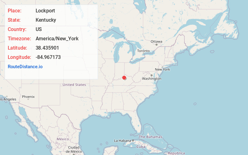
Full AddressLockport, KY 40036
-
Coordinates38.435901, -84.9671733
-
LocationLockport , Kentucky , US
-
TimezoneAmerica/New_York
-
Current Local Time12:43:35 AM America/New_YorkFriday, June 13, 2025
-
Page Views0
About Lockport
Lockport is an unincorporated community in Henry County, Kentucky, in the United States.


Nearby Places
Found 10 places within 50 miles

Gratz
2.7 mi
4.3 km
Gratz, KY 40359
Get directions

Monterey
5.2 mi
8.4 km
Monterey, KY 40359
Get directions

Drennon Springs
6.8 mi
10.9 km
Drennon Springs, KY 40036
Get directions

Delville
7.6 mi
12.2 km
Delville, KY 40011
Get directions
Flag Fork
8.0 mi
12.9 km
Flag Fork, KY 40601
Get directions

Owenton
9.7 mi
15.6 km
Owenton, KY 40359
Get directions

Pleasureville
10.1 mi
16.3 km
Pleasureville, KY 40057
Get directions
Hesler
10.5 mi
16.9 km
Hesler, KY 40359
Get directions

New Castle
11.0 mi
17.7 km
New Castle, KY
Get directions

Eminence
12.4 mi
20.0 km
Eminence, KY 40019
Get directions
Location Links
Local Weather
Weather Information
Coming soon!
Location Map
Static map view of Lockport, Kentucky
Browse Places by Distance
Places within specific distances from Lockport
Short Distances
Long Distances
Click any distance to see all places within that range from Lockport. Distances shown in miles (1 mile ≈ 1.61 kilometers).