Distance to Lockport, Illinois

Calculating Your Route
Just a moment while we process your request...
Location Information
-
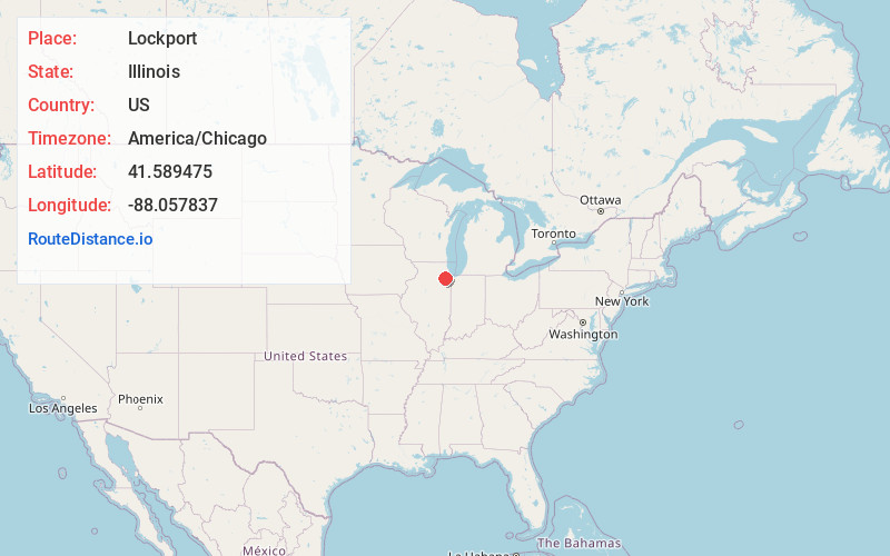
Full AddressLockport, IL
-
Coordinates41.5894752, -88.057837
-
LocationLockport , Illinois , US
-
TimezoneAmerica/Chicago
-
Current Local Time11:12:10 PM America/ChicagoFriday, June 27, 2025
-
Page Views0
About Lockport
Lockport is a city in Will County, Illinois, United States, located 30 miles southwest of Chicago. Per the 2020 census, the population was 26,094. The city was incorporated in 1853. It is situated along the Illinois and Michigan Canal, and was the headquarters of the canal when the canal was operating.


Nearby Places
Found 10 places within 50 miles

Romeoville
4.3 mi
6.9 km
Romeoville, IL
Get directions

Joliet
4.6 mi
7.4 km
Joliet, IL
Get directions

New Lenox
7.2 mi
11.6 km
New Lenox, IL
Get directions

Bolingbrook
7.6 mi
12.2 km
Bolingbrook, IL
Get directions

Plainfield
7.6 mi
12.2 km
Plainfield, IL
Get directions

Woodridge
10.9 mi
17.5 km
Woodridge, IL
Get directions

Orland Park
10.9 mi
17.5 km
Orland Park, IL
Get directions

Naperville
12.2 mi
19.6 km
Naperville, IL
Get directions

Tinley Park
13.7 mi
22.0 km
Tinley Park, IL
Get directions

Downers Grove
15.4 mi
24.8 km
Downers Grove, IL
Get directions
Location Links
Local Weather
Weather Information
Coming soon!
Location Map
Static map view of Lockport, Illinois
Browse Places by Distance
Places within specific distances from Lockport
Short Distances
Long Distances
Click any distance to see all places within that range from Lockport. Distances shown in miles (1 mile ≈ 1.61 kilometers).