Distance to Lockport Township, Kansas

Calculating Your Route
Just a moment while we process your request...
Location Information
-
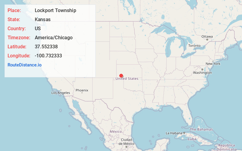
Full AddressLockport Township, KS
-
Coordinates37.5523382, -100.7323332
-
LocationLockport Township , Kansas , US
-
TimezoneAmerica/Chicago
-
Current Local Time8:27:06 PM America/ChicagoSunday, May 25, 2025
-
Page Views0
About Lockport Township
Lockport Township is a township in Haskell County, Kansas, United States. As of the 2000 census, its population was 522.


Nearby Places
Found 10 places within 50 miles

Tice
2.5 mi
4.0 km
Tice, Lockport Township, KS 67837
Get directions

Copeland
5.7 mi
9.2 km
Copeland, KS 67837
Get directions

Sublette
7.8 mi
12.6 km
Sublette, KS 67877
Get directions
Haskell County
8.7 mi
14.0 km
Haskell County, KS
Get directions
Satanta
16.1 mi
25.9 km
Satanta, KS 67870
Get directions
Montezuma
16.1 mi
25.9 km
Montezuma, KS 67867
Get directions
Plymell
19.3 mi
31.1 km
Plymell, Ivanhoe Township, KS 67846
Get directions
Ryus
20.9 mi
33.6 km
Ryus, Sullivan Township, KS 67870
Get directions
Hobart
21.4 mi
34.4 km
Hobart, West Plains Township, KS 67869
Get directions
Collano
21.4 mi
34.4 km
Collano, KS 67869
Get directions
Location Links
Local Weather
Weather Information
Coming soon!
Location Map
Static map view of Lockport Township, Kansas
Browse Places by Distance
Places within specific distances from Lockport Township
Short Distances
Long Distances
Click any distance to see all places within that range from Lockport Township. Distances shown in miles (1 mile ≈ 1.61 kilometers).