Distance to Locust Gap, Pennsylvania

Calculating Your Route
Just a moment while we process your request...
Location Information
-
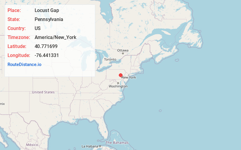
Full AddressLocust Gap, PA
-
Coordinates40.7716992, -76.4413312
-
LocationLocust Gap , Pennsylvania , US
-
TimezoneAmerica/New_York
-
Current Local Time1:46:59 PM America/New_YorkSaturday, June 7, 2025
-
Page Views0
About Locust Gap
Locust Gap is an unincorporated community in Northumberland County, Pennsylvania, United States. It is located approximately two miles southwest of Mount Carmel.


Nearby Places
Found 10 places within 50 miles

Helfenstein
1.7 mi
2.7 km
Helfenstein, PA 17872
Get directions

Merrian
1.7 mi
2.7 km
Merrian, PA 17851
Get directions
Strong
1.9 mi
3.1 km
Strong, PA 17851
Get directions
Atlas
2.1 mi
3.4 km
Atlas, PA 17851
Get directions

Kulpmont
2.2 mi
3.5 km
Kulpmont, PA
Get directions

Mt Carmel
2.3 mi
3.7 km
Mt Carmel, PA 17851
Get directions
Diamondtown
2.4 mi
3.9 km
Diamondtown, PA 17851
Get directions
Lavelle
2.5 mi
4.0 km
Lavelle, PA 17921
Get directions

Marion Heights
2.6 mi
4.2 km
Marion Heights, PA 17832
Get directions
Natalie
3.3 mi
5.3 km
Natalie, PA 17851
Get directions
Location Links
Local Weather
Weather Information
Coming soon!
Location Map
Static map view of Locust Gap, Pennsylvania
Browse Places by Distance
Places within specific distances from Locust Gap
Short Distances
Long Distances
Click any distance to see all places within that range from Locust Gap. Distances shown in miles (1 mile ≈ 1.61 kilometers).