Distance to Locustdale, Pennsylvania

Calculating Your Route
Just a moment while we process your request...
Location Information
-
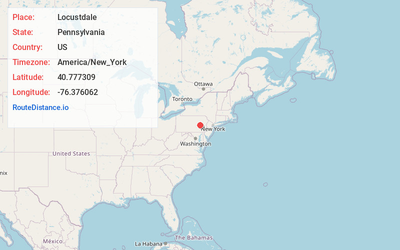
Full AddressLocustdale, PA
-
Coordinates40.7773094, -76.3760619
-
LocationLocustdale , Pennsylvania , US
-
TimezoneAmerica/New_York
-
Current Local Time1:10:17 PM America/New_YorkSaturday, May 31, 2025
-
Page Views0
About Locustdale
Locustdale is a census-designated place that is located on the border of Columbia and Schuylkill counties, Pennsylvania, United States. It is part of Northeastern Pennsylvania.
The population was 171 at the time of the 2020 census. It is part of the Bloomsburg-Berwick micropolitan area.

Nearby Places
Found 10 places within 50 miles

Lavelle
1.5 mi
2.4 km
Lavelle, PA 17921
Get directions

Ashland
1.6 mi
2.6 km
Ashland, PA 17921
Get directions

Mt Carmel
2.3 mi
3.7 km
Mt Carmel, PA 17851
Get directions
Wilburton Number One
2.6 mi
4.2 km
Wilburton Number One, PA
Get directions
Gordon
2.7 mi
4.3 km
Gordon, PA
Get directions
Atlas
3.1 mi
5.0 km
Atlas, PA 17851
Get directions

Little Mahanoy Creek
4.5 mi
7.2 km
Little Mahanoy Creek, Pennsylvania
Get directions

Girardville
4.9 mi
7.9 km
Girardville, PA 17935
Get directions

Marion Heights
5.0 mi
8.0 km
Marion Heights, PA 17832
Get directions

Kulpmont
5.2 mi
8.4 km
Kulpmont, PA
Get directions
Location Links
Local Weather
Weather Information
Coming soon!
Location Map
Static map view of Locustdale, Pennsylvania
Browse Places by Distance
Places within specific distances from Locustdale
Short Distances
Long Distances
Click any distance to see all places within that range from Locustdale. Distances shown in miles (1 mile ≈ 1.61 kilometers).