Distance to Lodi, Indiana

Calculating Your Route
Just a moment while we process your request...
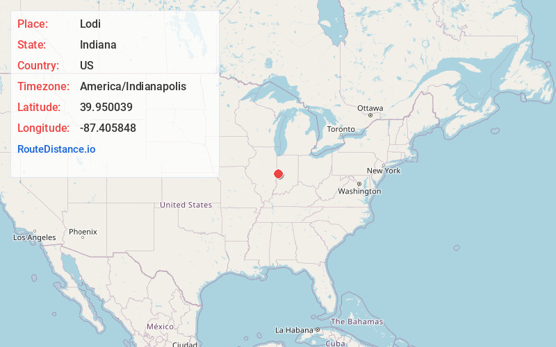
Location Information
-
Full AddressLodi, Liberty Township, IN 47952
-
Coordinates39.9500386, -87.4058483
-
LocationLiberty Township , Indiana , US
-
TimezoneAmerica/Indianapolis
-
Page Views0
About Lodi
Lodi is an unincorporated community in Liberty Township, Parke County, Indiana. Located on Indiana State Road 234, the most prominent feature is Waterman Baptist Church, which occupies a red brick building in the north-east corner of town. Just south of the town is one of the first round barns, the W. H.
Nearby Places
Found 10 places within 50 miles

Silverwood
0.3 mi
0.5 km
Silverwood, IN 47952
Get directions
Howard
2.8 mi
4.5 km
Howard, IN 47952
Get directions

Cayuga
2.9 mi
4.7 km
Cayuga, IN 47928
Get directions
Eugene
3.7 mi
6.0 km
Eugene, IN 47928
Get directions

Newport
4.6 mi
7.4 km
Newport, IN
Get directions
Cates
4.8 mi
7.7 km
Cates, IN
Get directions
Tangier
5.1 mi
8.2 km
Tangier, IN 47952
Get directions
Coal Creek
6.1 mi
9.8 km
Coal Creek, Wabash Township, IN 47932
Get directions
Harveysburg
6.3 mi
10.1 km
Harveysburg, IN 47952
Get directions
Stringtown
6.6 mi
10.6 km
Stringtown, IN 47932
Get directions
Location Links
Local Weather
Weather Information
Coming soon!
Location Map
Static map view of Lodi, Indiana
Browse Places by Distance
Places within specific distances from Lodi
Short Distances
Long Distances
Click any distance to see all places within that range from Lodi. Distances shown in miles (1 mile ≈ 1.61 kilometers).