Distance to Log Cabin Crossroads, Indiana

Calculating Your Route
Just a moment while we process your request...
Location Information
-
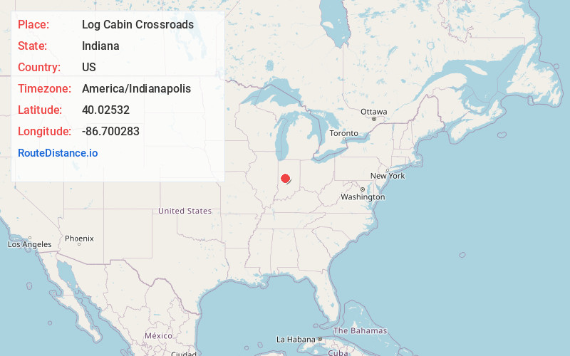
Full AddressLog Cabin Crossroads, Walnut Township, IN 46147
-
Coordinates40.0253202, -86.7002832
-
LocationWalnut Township , Indiana , US
-
TimezoneAmerica/Indianapolis
-
Page Views0
Nearby Places
Found 10 places within 50 miles

New Ross
4.3 mi
6.9 km
New Ross, IN 47968
Get directions
Advance
4.7 mi
7.6 km
Advance, IN
Get directions
Max
6.4 mi
10.3 km
Max, IN 46052
Get directions

Darlington
6.9 mi
11.1 km
Darlington, IN
Get directions

Jamestown
7.9 mi
12.7 km
Jamestown, IN 46147
Get directions
Whitesville
8.2 mi
13.2 km
Whitesville, IN 47933
Get directions

Thorntown
8.7 mi
14.0 km
Thorntown, IN 46071
Get directions

Crawfordsville
9.3 mi
15.0 km
Crawfordsville, IN 47933
Get directions

Ladoga
9.4 mi
15.1 km
Ladoga, IN 47954
Get directions
Milledgeville
11.3 mi
18.2 km
Milledgeville, IN 46052
Get directions
Location Links
Local Weather
Weather Information
Coming soon!
Location Map
Static map view of Log Cabin Crossroads, Indiana
Browse Places by Distance
Places within specific distances from Log Cabin Crossroads
Short Distances
Long Distances
Click any distance to see all places within that range from Log Cabin Crossroads. Distances shown in miles (1 mile ≈ 1.61 kilometers).