Distance to Log Cabin, Louisiana

Calculating Your Route
Just a moment while we process your request...
Location Information
-
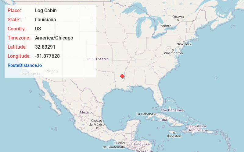
Full AddressLog Cabin, LA 71220
-
Coordinates32.8329103, -91.8776277
-
LocationLog Cabin , Louisiana , US
-
TimezoneAmerica/Chicago
-
Current Local Time11:26:51 PM America/ChicagoFriday, June 20, 2025
-
Page Views0
Nearby Places
Found 10 places within 50 miles

Newhlock
2.8 mi
4.5 km
Newhlock, LA 71220
Get directions

Bastrop
5.3 mi
8.5 km
Bastrop, LA 71220
Get directions
Stampley
5.7 mi
9.2 km
Stampley, LA 71220
Get directions

Point Pleasant
6.1 mi
9.8 km
Point Pleasant, LA 71220
Get directions
Mer Rouge
6.3 mi
10.1 km
Mer Rouge, LA 71261
Get directions
Upland
7.0 mi
11.3 km
Upland, LA 71220
Get directions
Naff
7.4 mi
11.9 km
Naff, LA 71220
Get directions
Collinston
9.8 mi
15.8 km
Collinston, LA 71229
Get directions
Geddie
11.8 mi
19.0 km
Geddie, LA 71220
Get directions
Cargas
12.5 mi
20.1 km
Cargas, LA 71280
Get directions
Location Links
Local Weather
Weather Information
Coming soon!
Location Map
Static map view of Log Cabin, Louisiana
Browse Places by Distance
Places within specific distances from Log Cabin
Short Distances
Long Distances
Click any distance to see all places within that range from Log Cabin. Distances shown in miles (1 mile ≈ 1.61 kilometers).