Distance to Log Lick, Kentucky

Calculating Your Route
Just a moment while we process your request...
Location Information
-
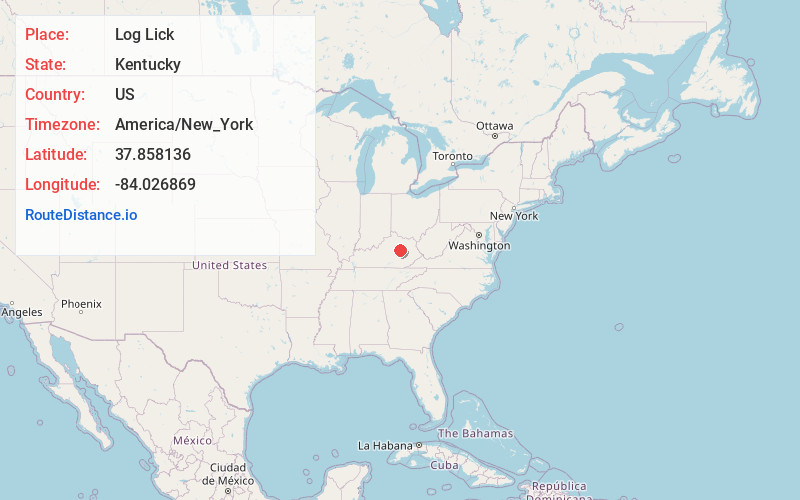
Full AddressLog Lick, KY 40391
-
Coordinates37.8581361, -84.026869
-
LocationKentucky , US
-
TimezoneAmerica/New_York
-
Current Local Time5:30:29 PM America/New_YorkWednesday, June 25, 2025
-
Page Views0
About Log Lick
Log Lick is an unincorporated community located in Clark County, Kentucky, United States.
Nearby Places
Found 10 places within 50 miles

Clay City
5.9 mi
9.5 km
Clay City, KY 40312
Get directions

Stanton
9.2 mi
14.8 km
Stanton, KY 40380
Get directions

Irvine
11.3 mi
18.2 km
Irvine, KY
Get directions

Flanagan
11.3 mi
18.2 km
Flanagan, KY 40391
Get directions

Camargo
12.1 mi
19.5 km
Camargo, KY 40353
Get directions

Winchester
12.3 mi
19.8 km
Winchester, KY 40391
Get directions

Ravenna
12.7 mi
20.4 km
Ravenna, KY 40472
Get directions

Jeffersonville
12.9 mi
20.8 km
Jeffersonville, KY 40337
Get directions
Reeds Crossing
13.5 mi
21.7 km
Reeds Crossing, KY 40475
Get directions
Reid Village
13.5 mi
21.7 km
Reid Village, KY 40353
Get directions
Location Links
Local Weather
Weather Information
Coming soon!
Location Map
Static map view of Log Lick, Kentucky
Browse Places by Distance
Places within specific distances from Log Lick
Short Distances
Long Distances
Click any distance to see all places within that range from Log Lick. Distances shown in miles (1 mile ≈ 1.61 kilometers).