Distance to Logan, Missouri

Calculating Your Route
Just a moment while we process your request...
Location Information
-
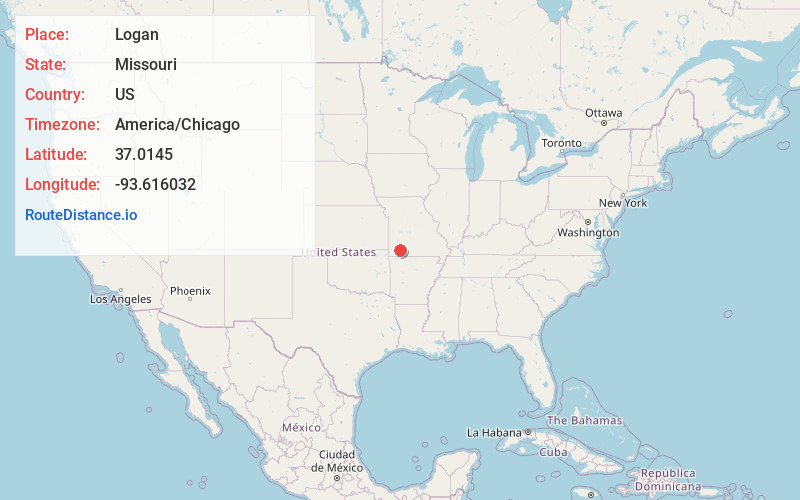
Full AddressLogan, Buck Prairie Township, MO 65705
-
Coordinates37.0145004, -93.6160318
-
LocationBuck Prairie Township , Missouri , US
-
TimezoneAmerica/Chicago
-
Current Local Time10:26:32 PM America/ChicagoSunday, June 29, 2025
-
Page Views0
About Logan
Logan is an unincorporated community in eastern Lawrence County, Missouri, United States. It is located off U.S. Route 60, one mile northeast of Marionville. Several homes are located there.
Logan was platted in 1870. The community has the name of William and Hetty E. Logan, original owners of the town site.
Nearby Places
Found 10 places within 50 miles

Marionville
1.4 mi
2.3 km
Marionville, MO 65705
Get directions

McKinley
3.3 mi
5.3 km
McKinley, MO 65705
Get directions

Billings
5.1 mi
8.2 km
Billings, MO 65610
Get directions

Aurora
6.4 mi
10.3 km
Aurora, MO 65605
Get directions
Sage Hill
7.2 mi
11.6 km
Sage Hill, Aurora Township, MO 65605
Get directions
Elliott
7.5 mi
12.1 km
Elliott, Mt Vernon Township, MO 65605
Get directions

Crane
7.9 mi
12.7 km
Crane, MO 65633
Get directions

Chesapeake
7.9 mi
12.7 km
Chesapeake, MO 65712
Get directions

Clever
8.0 mi
12.9 km
Clever, MO
Get directions

Hurley
8.6 mi
13.8 km
Hurley, MO
Get directions
Location Links
Local Weather
Weather Information
Coming soon!
Location Map
Static map view of Logan, Missouri
Browse Places by Distance
Places within specific distances from Logan
Short Distances
Long Distances
Click any distance to see all places within that range from Logan. Distances shown in miles (1 mile ≈ 1.61 kilometers).