Distance to Logan Township, Pennsylvania

Calculating Your Route
Just a moment while we process your request...
Location Information
-
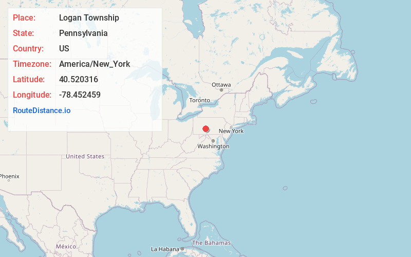
Full AddressLogan Township, PA
-
Coordinates40.5203157, -78.4524591
-
LocationLogan Township , Pennsylvania , US
-
TimezoneAmerica/New_York
-
Current Local Time2:50:49 PM America/New_YorkTuesday, July 1, 2025
-
Page Views0
About Logan Township
Logan Township is a township in Blair County, Pennsylvania, United States. It is part of the Altoona, PA Metropolitan Statistical Area. It is the most populous township in Blair County, with a population of 12,413 at the 2020 census. Logan Township is home to Horseshoe Curve, a National Historic Landmark.

Nearby Places
Found 10 places within 50 miles

Altoona
3.0 mi
4.8 km
Altoona, PA
Get directions

Wopsononock
3.3 mi
5.3 km
Wopsononock, PA 16636
Get directions
Coupon
3.5 mi
5.6 km
Coupon, PA 16629
Get directions
Eldorado
3.6 mi
5.8 km
Eldorado, Altoona, PA 16602
Get directions
Homer Gap
3.9 mi
6.3 km
Homer Gap, Logan Township, PA 16601
Get directions
East End
4.0 mi
6.4 km
East End, Altoona, PA 16602
Get directions
Elstie
4.2 mi
6.8 km
Elstie, Gallitzin Township, PA 16613
Get directions
Canan
4.2 mi
6.8 km
Canan, Canan Station, PA 16601
Get directions
Lakemont
4.7 mi
7.6 km
Lakemont, Logan Township, PA 16602
Get directions
South Lakemont
4.9 mi
7.9 km
South Lakemont, Lakemont, PA 16602
Get directions
Location Links
Local Weather
Weather Information
Coming soon!
Location Map
Static map view of Logan Township, Pennsylvania
Browse Places by Distance
Places within specific distances from Logan Township
Short Distances
Long Distances
Click any distance to see all places within that range from Logan Township. Distances shown in miles (1 mile ≈ 1.61 kilometers).