Distance to Logsdon Valley, Kentucky

Calculating Your Route
Just a moment while we process your request...
Location Information
-
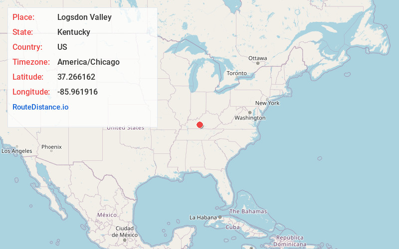
Full AddressLogsdon Valley, KY 42765
-
Coordinates37.2661623, -85.9619162
-
LocationKentucky , US
-
TimezoneAmerica/Chicago
-
Current Local Time1:25:14 PM America/ChicagoTuesday, July 1, 2025
-
Page Views0
Nearby Places
Found 10 places within 50 miles

Munfordville
3.9 mi
6.3 km
Munfordville, KY 42765
Get directions

Rowletts
4.1 mi
6.6 km
Rowletts, KY 42749
Get directions

Horse Cave
6.7 mi
10.8 km
Horse Cave, KY 42749
Get directions
Roseburg
7.8 mi
12.6 km
Roseburg, KY 42729
Get directions
Bonnieville
8.4 mi
13.5 km
Bonnieville, KY 42713
Get directions

Cave City
8.9 mi
14.3 km
Cave City, KY 42127
Get directions
Wheelers Mill
9.5 mi
15.3 km
Wheelers Mill, KY 42726
Get directions

Hardyville
9.7 mi
15.6 km
Hardyville, KY 42746
Get directions
Canmer
10.8 mi
17.4 km
Canmer, KY 42722
Get directions
Chaumont
11.1 mi
17.9 km
Chaumont, KY 42160
Get directions
Location Links
Local Weather
Weather Information
Coming soon!
Location Map
Static map view of Logsdon Valley, Kentucky
Browse Places by Distance
Places within specific distances from Logsdon Valley
Short Distances
Long Distances
Click any distance to see all places within that range from Logsdon Valley. Distances shown in miles (1 mile ≈ 1.61 kilometers).