Distance to Loleta, California

Calculating Your Route
Just a moment while we process your request...
Location Information
-
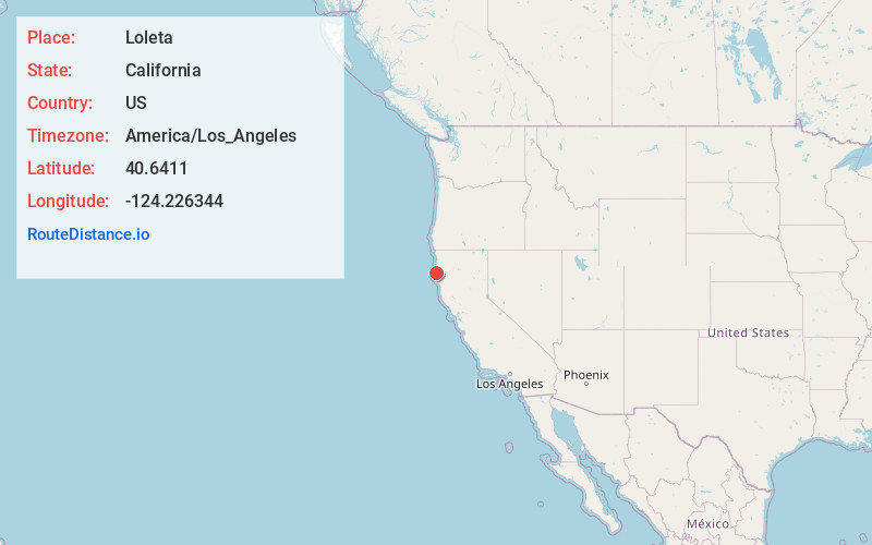
Full AddressLoleta, CA
-
Coordinates40.6411002, -124.2263437
-
LocationLoleta , California , US
-
TimezoneAmerica/Los_Angeles
-
Current Local Time12:35:04 PM America/Los_AngelesWednesday, May 21, 2025
-
Page Views2
About Loleta
Loleta is a unincorporated community in Humboldt County, California, United States. Loleta is located 5.5 miles south of Fields Landing, and 15 miles south of Eureka at an elevation of 46 feet. The population was 783 at the 2010 census.


Nearby Places
Found 10 places within 50 miles

Fortuna
4.7 mi
7.6 km
Fortuna, CA 95540
Get directions

Ferndale
4.9 mi
7.9 km
Ferndale, CA 95536
Get directions

Fields Landing
5.8 mi
9.3 km
Fields Landing, CA
Get directions

Humboldt Hill
6.2 mi
10.0 km
Humboldt Hill, CA 95503
Get directions

Hydesville
9.4 mi
15.1 km
Hydesville, CA
Get directions

Cutten
9.9 mi
15.9 km
Cutten, CA 95503
Get directions

Myrtletown
11.4 mi
18.3 km
Myrtletown, CA
Get directions

Eureka
11.6 mi
18.7 km
Eureka, CA
Get directions

Rio Dell
11.6 mi
18.7 km
Rio Dell, CA
Get directions
Manila
14.9 mi
24.0 km
Manila, CA 95521
Get directions
Location Links
Local Weather
Weather Information
Coming soon!
Location Map
Static map view of Loleta, California
Browse Places by Distance
Places within specific distances from Loleta
Short Distances
Long Distances
Click any distance to see all places within that range from Loleta. Distances shown in miles (1 mile ≈ 1.61 kilometers).