Distance to Lombardy, Mississippi

Calculating Your Route
Just a moment while we process your request...
Location Information
-
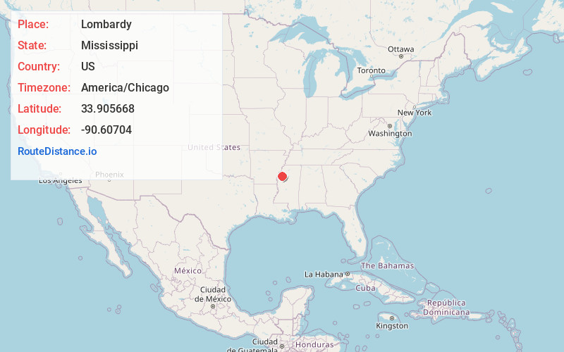
Full AddressLombardy, MS 38737
-
Coordinates33.9056679, -90.6070401
-
LocationLombardy , Mississippi , US
-
TimezoneAmerica/Chicago
-
Current Local Time1:05:43 PM America/ChicagoTuesday, May 27, 2025
-
Page Views0
About Lombardy
Lombardy is an unincorporated community located in northern Sunflower County, Mississippi. Lombardy is approximately 5.3 miles south of Baltzer and approximately 7 miles east of Mound Bayou at the junction of Lombardy and Mound Bayou Roads.
Nearby Places
Found 10 places within 50 miles

Baltzer
5.3 mi
8.5 km
Baltzer, MS 38614
Get directions
Fitzhugh
5.8 mi
9.3 km
Fitzhugh, MS 38737
Get directions
Mound Bayou
7.2 mi
11.6 km
Mound Bayou, MS 38762
Get directions
Minot
7.2 mi
11.6 km
Minot, MS 38963
Get directions
Drew
8.1 mi
13.0 km
Drew, MS 38737
Get directions

Merigold
8.2 mi
13.2 km
Merigold, MS 38759
Get directions
Winstonville
8.3 mi
13.4 km
Winstonville, MS
Get directions
Zumbro
9.6 mi
15.4 km
Zumbro, MS 38732
Get directions

Shelby
9.7 mi
15.6 km
Shelby, MS 38774
Get directions
Blue Lake
10.0 mi
16.1 km
Blue Lake, MS 38737
Get directions
Location Links
Local Weather
Weather Information
Coming soon!
Location Map
Static map view of Lombardy, Mississippi
Browse Places by Distance
Places within specific distances from Lombardy
Short Distances
Long Distances
Click any distance to see all places within that range from Lombardy. Distances shown in miles (1 mile ≈ 1.61 kilometers).