Distance to Lomira, Wisconsin

Calculating Your Route
Just a moment while we process your request...
Location Information
-
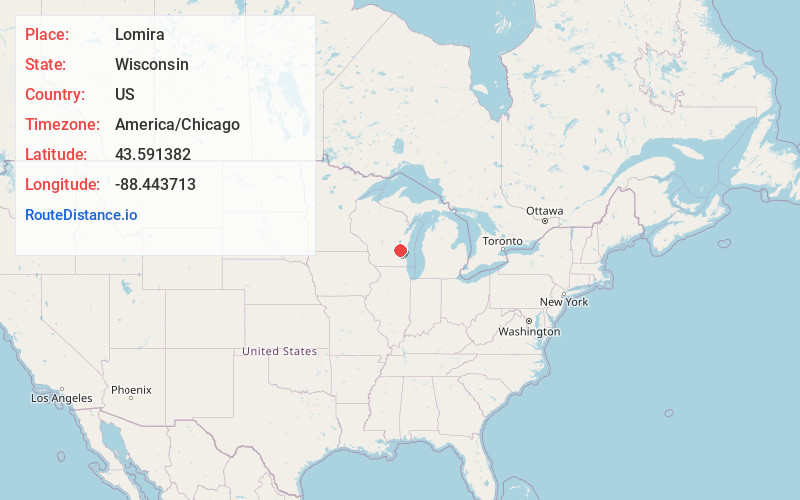
Full AddressLomira, WI
-
Coordinates43.591382, -88.443713
-
LocationLomira , Wisconsin , US
-
TimezoneAmerica/Chicago
-
Current Local Time2:50:28 PM America/ChicagoSunday, June 22, 2025
-
Page Views0
About Lomira
Lomira is a village in Dodge County, Wisconsin, United States. The population was 2,678 at the 2020 census. The village is located within the Town of Lomira, at the crossroads of State Highways 49, 67 and 175, and Interstate 41.


Nearby Places
Found 10 places within 50 miles

Mayville
8.4 mi
13.5 km
Mayville, WI 53050
Get directions

Kewaskum
11.8 mi
19.0 km
Kewaskum, WI 53040
Get directions

Fond du Lac
12.6 mi
20.3 km
Fond du Lac, WI
Get directions

Horicon
13.5 mi
21.7 km
Horicon, WI 53032
Get directions

Waupun
14.6 mi
23.5 km
Waupun, WI 53963
Get directions

West Bend
17.4 mi
28.0 km
West Bend, WI
Get directions

Hartford
19.2 mi
30.9 km
Hartford, WI
Get directions

Slinger
19.5 mi
31.4 km
Slinger, WI
Get directions

Beaver Dam
21.8 mi
35.1 km
Beaver Dam, WI 53916
Get directions

Jackson
23.1 mi
37.2 km
Jackson, WI 53037
Get directions
Location Links
Local Weather
Weather Information
Coming soon!
Location Map
Static map view of Lomira, Wisconsin
Browse Places by Distance
Places within specific distances from Lomira
Short Distances
Long Distances
Click any distance to see all places within that range from Lomira. Distances shown in miles (1 mile ≈ 1.61 kilometers).