Distance to Lone Grove, Arkansas

Calculating Your Route
Just a moment while we process your request...
Location Information
-
Full AddressLone Grove, AR 72156
-
Coordinates35.3150807, -92.70183
-
LocationArkansas , US
-
TimezoneAmerica/Chicago
-
Current Local Time2:58:18 AM America/ChicagoThursday, June 19, 2025
-
Page Views0
Nearby Places
Found 10 places within 50 miles

Hattieville
5.2 mi
8.4 km
Hattieville, AR 72063
Get directions
Hickory Hill
5.3 mi
8.5 km
Hickory Hill, AR 72110
Get directions
Bethlehem
6.8 mi
10.9 km
Bethlehem, AR 72157
Get directions
Hill Creek
8.5 mi
13.7 km
Hill Creek, AR 72127
Get directions

Catholic Point
8.6 mi
13.8 km
Catholic Point, AR 72027
Get directions

Springfield
8.8 mi
14.2 km
Springfield, AR 72157
Get directions
Center Ridge
8.8 mi
14.2 km
Center Ridge, AR 72027
Get directions

Jerusalem
9.0 mi
14.5 km
Jerusalem, AR 72080
Get directions
Plumerville
11.2 mi
18.0 km
Plumerville, AR 72127
Get directions

Morrilton
11.5 mi
18.5 km
Morrilton, AR 72110
Get directions
Location Links
Local Weather
Weather Information
Coming soon!
Location Map
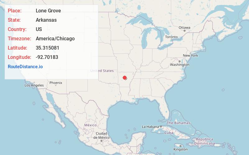
Static map view of Lone Grove, Arkansas
Browse Places by Distance
Places within specific distances from Lone Grove
Short Distances
Long Distances
Click any distance to see all places within that range from Lone Grove. Distances shown in miles (1 mile ≈ 1.61 kilometers).