Distance to Lone Rock, Wisconsin

Calculating Your Route
Just a moment while we process your request...
Location Information
-
Full AddressLone Rock, WI
-
Coordinates43.1833235, -90.1979016
-
LocationLone Rock , Wisconsin , US
-
TimezoneAmerica/Chicago
-
Current Local Time7:05:27 AM America/ChicagoFriday, June 20, 2025
-
Page Views0
About Lone Rock
Lone Rock is a village in Richland County, Wisconsin, United States. The population was 888 at the 2010 census. The village is named after a sandstone outcrop.


Nearby Places
Found 10 places within 50 miles

Spring Green
6.6 mi
10.6 km
Spring Green, WI 53588
Get directions

Muscoda
12.4 mi
20.0 km
Muscoda, WI
Get directions

Highland
13.2 mi
21.2 km
Highland, WI 53543
Get directions

Richland Center
14.1 mi
22.7 km
Richland Center, WI 53581
Get directions

Arena
14.4 mi
23.2 km
Arena, WI 53503
Get directions

Dodgeville
15.8 mi
25.4 km
Dodgeville, WI
Get directions

Barneveld
19.2 mi
30.9 km
Barneveld, WI 53507
Get directions

Mazomanie
20.3 mi
32.7 km
Mazomanie, WI 53560
Get directions

Blue Mounds
21.7 mi
34.9 km
Blue Mounds, WI 53517
Get directions

Mineral Point
22.4 mi
36.0 km
Mineral Point, WI 53565
Get directions
Location Links
Local Weather
Weather Information
Coming soon!
Location Map
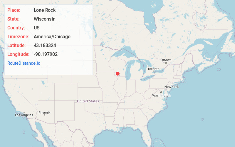
Static map view of Lone Rock, Wisconsin
Browse Places by Distance
Places within specific distances from Lone Rock
Short Distances
Long Distances
Click any distance to see all places within that range from Lone Rock. Distances shown in miles (1 mile ≈ 1.61 kilometers).