Distance to Lone Star, Texas

Calculating Your Route
Just a moment while we process your request...
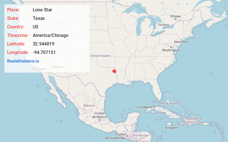
Location Information
-
Full AddressLone Star, TX 75668
-
Coordinates32.9440186, -94.7071506
-
LocationLone Star , Texas , US
-
TimezoneAmerica/Chicago
-
Current Local Time3:35:15 AM America/ChicagoFriday, June 13, 2025
-
Page Views1
About Lone Star
Lone Star is a city in Morris County, Texas, United States. Its population was 1,581 at the 2010 census.


Nearby Places
Found 10 places within 50 miles

Daingerfield
6.1 mi
9.8 km
Daingerfield, TX 75638
Get directions

Pittsburg
15.4 mi
24.8 km
Pittsburg, TX 75686
Get directions

Gilmer
20.2 mi
32.5 km
Gilmer, TX
Get directions

Linden
20.4 mi
32.8 km
Linden, TX 75563
Get directions

Mt Pleasant
21.1 mi
34.0 km
Mt Pleasant, TX
Get directions

Jefferson
24.7 mi
39.8 km
Jefferson, TX 75657
Get directions

White Oak
30.1 mi
48.4 km
White Oak, TX
Get directions

Longview
30.7 mi
49.4 km
Longview, TX
Get directions

Gladewater
31.3 mi
50.4 km
Gladewater, TX 75647
Get directions

Hallsville
31.4 mi
50.5 km
Hallsville, TX 75650
Get directions
Location Links
Local Weather
Weather Information
Coming soon!
Location Map
Static map view of Lone Star, Texas
Browse Places by Distance
Places within specific distances from Lone Star
Short Distances
Long Distances
Click any distance to see all places within that range from Lone Star. Distances shown in miles (1 mile ≈ 1.61 kilometers).