Distance to Lone Tree, Indiana

Calculating Your Route
Just a moment while we process your request...
Location Information
-
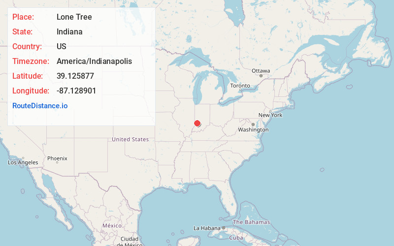
Full AddressLone Tree, IN 47471
-
Coordinates39.1258767, -87.128901
-
LocationLone Tree , Indiana , US
-
TimezoneAmerica/Indianapolis
-
Page Views0
About Lone Tree
Lone Tree was an unincorporated community in Wright Township, Greene County, Indiana, in the United States. It was located at what is now the intersection of County Road 1000W and County Road 700N.
Nearby Places
Found 10 places within 50 miles

Midland
3.4 mi
5.5 km
Midland, IN 47438
Get directions

Vicksburg
4.4 mi
7.1 km
Vicksburg, IN 47441
Get directions

Jasonville
4.6 mi
7.4 km
Jasonville, IN 47438
Get directions

Linton
6.6 mi
10.6 km
Linton, IN 47441
Get directions
Coalmont
7.2 mi
11.6 km
Coalmont, IN 47438
Get directions

Switz City
7.5 mi
12.1 km
Switz City, IN 47465
Get directions

Worthington
8.0 mi
12.9 km
Worthington, IN 47471
Get directions

Dugger
8.1 mi
13.0 km
Dugger, IN 47848
Get directions

Coal City
8.5 mi
13.7 km
Coal City, IN 47427
Get directions

Lyons
9.8 mi
15.8 km
Lyons, IN 47443
Get directions
Location Links
Local Weather
Weather Information
Coming soon!
Location Map
Static map view of Lone Tree, Indiana
Browse Places by Distance
Places within specific distances from Lone Tree
Short Distances
Long Distances
Click any distance to see all places within that range from Lone Tree. Distances shown in miles (1 mile ≈ 1.61 kilometers).