Distance to Long Bottom, Ohio

Calculating Your Route
Just a moment while we process your request...
Location Information
-
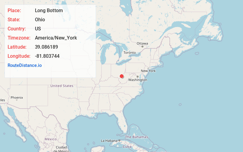
Full AddressLong Bottom, OH 45743
-
Coordinates39.0861892, -81.8037443
-
LocationLong Bottom , Ohio , US
-
TimezoneAmerica/New_York
-
Current Local Time5:24:20 PM America/New_YorkSaturday, June 28, 2025
-
Page Views0
About Long Bottom
Long Bottom is an unincorporated community in southern Olive Township, Meigs County, Ohio, United States. It has a post office with the ZIP code 45743.
It lies on the Ohio River, located between Reedsville and Portland.
The community was named for a river bottom near the original town site.
Nearby Places
Found 10 places within 50 miles

Tuppers Plains
6.1 mi
9.8 km
Tuppers Plains, OH
Get directions

Hockingport
7.6 mi
12.2 km
Hockingport, OH
Get directions

Coolville
9.4 mi
15.1 km
Coolville, OH 45723
Get directions

Ravenswood
9.8 mi
15.8 km
Ravenswood, WV 26164
Get directions

Racine
9.9 mi
15.9 km
Racine, OH 45771
Get directions
Syracuse
11.0 mi
17.7 km
Syracuse, OH
Get directions
New Haven
11.4 mi
18.3 km
New Haven, WV
Get directions
Wilding
11.4 mi
18.3 km
Wilding, WV 26164
Get directions
Hartford City
11.5 mi
18.5 km
Hartford City, WV
Get directions
Mason
12.9 mi
20.8 km
Mason, WV
Get directions
Location Links
Local Weather
Weather Information
Coming soon!
Location Map
Static map view of Long Bottom, Ohio
Browse Places by Distance
Places within specific distances from Long Bottom
Short Distances
Long Distances
Click any distance to see all places within that range from Long Bottom. Distances shown in miles (1 mile ≈ 1.61 kilometers).