Distance to Longboat Key, Florida

Calculating Your Route
Just a moment while we process your request...
Location Information
-
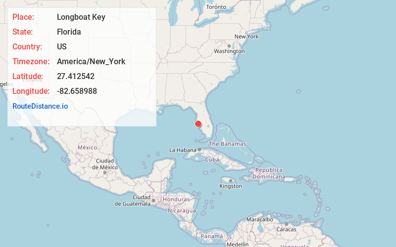
Full AddressLongboat Key, FL
-
Coordinates27.4125417, -82.6589881
-
LocationLongboat Key , Florida , US
-
TimezoneAmerica/New_York
-
Current Local Time10:11:41 AM America/New_YorkSunday, June 15, 2025
-
Page Views2
About Longboat Key
Longboat Key is a town in Manatee and Sarasota counties along the central west coast of the U.S. state of Florida, located on and coterminous with the barrier island of the same name. Longboat Key is south of Anna Maria Island, between Sarasota Bay and the Gulf of Mexico.


Nearby Places
Found 10 places within 50 miles

Bayshore Gardens
4.3 mi
6.9 km
Bayshore Gardens, FL
Get directions

South Bradenton
5.9 mi
9.5 km
South Bradenton, FL
Get directions

Bradenton
8.0 mi
12.9 km
Bradenton, FL
Get directions

Palmetto
9.2 mi
14.8 km
Palmetto, FL
Get directions

Sarasota
9.4 mi
15.1 km
Sarasota, FL
Get directions
Memphis
10.4 mi
16.7 km
Memphis, FL
Get directions

Sarasota Springs
13.1 mi
21.1 km
Sarasota Springs, FL
Get directions

Fruitville
13.6 mi
21.9 km
Fruitville, FL
Get directions

Bee Ridge
14.0 mi
22.5 km
Bee Ridge, FL 34233
Get directions

Lakewood Ranch
14.1 mi
22.7 km
Lakewood Ranch, FL
Get directions
Location Links
Local Weather
Weather Information
Coming soon!
Location Map
Static map view of Longboat Key, Florida
Browse Places by Distance
Places within specific distances from Longboat Key
Short Distances
Long Distances
Click any distance to see all places within that range from Longboat Key. Distances shown in miles (1 mile ≈ 1.61 kilometers).