Distance to Longs, South Carolina

Calculating Your Route
Just a moment while we process your request...
Location Information
-
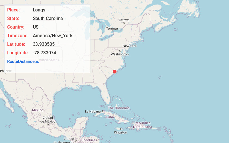
Full AddressLongs, SC 29568
-
Coordinates33.9385051, -78.7330737
-
LocationLongs , South Carolina , US
-
TimezoneAmerica/New_York
-
Current Local Time8:12:37 AM America/New_YorkWednesday, June 18, 2025
-
Page Views0
About Longs
Longs is a small unincorporated community in Horry County, South Carolina, United States. It lies north of Myrtle Beach, located at the intersection of S.C. 9 and S.C. 905. Longs consists of many new developments, planned communities, a few golf courses, and many locally owned businesses.


Nearby Places
Found 10 places within 50 miles

Freemont
0.8 mi
1.3 km
Freemont, SC 29568
Get directions
Little Town
1.5 mi
2.4 km
Little Town, SC 29568
Get directions
Chestnut Crossroads
2.0 mi
3.2 km
Chestnut Crossroads, SC 29568
Get directions
Worthams Ferry
3.7 mi
6.0 km
Worthams Ferry, SC 29566
Get directions
Stephens Crossroads
4.5 mi
7.2 km
Stephens Crossroads, SC 29568
Get directions
Brooksville
4.8 mi
7.7 km
Brooksville, SC 29566
Get directions
Olyphic
5.6 mi
9.0 km
Olyphic, NC 28463
Get directions
Star Bluff Crossroads
5.9 mi
9.5 km
Star Bluff Crossroads, SC 29568
Get directions
Red Bluff Crossroads
6.6 mi
10.6 km
Red Bluff Crossroads, SC 29526
Get directions
Dothan
6.6 mi
10.6 km
Dothan, NC 28463
Get directions
Location Links
Local Weather
Weather Information
Coming soon!
Location Map
Static map view of Longs, South Carolina
Browse Places by Distance
Places within specific distances from Longs
Short Distances
Long Distances
Click any distance to see all places within that range from Longs. Distances shown in miles (1 mile ≈ 1.61 kilometers).