Distance to Longstreet Farm, New Jersey

Calculating Your Route
Just a moment while we process your request...
Location Information
-
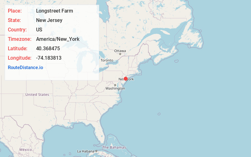
Full AddressLongstreet Farm, Holmdel, NJ 07733
-
Coordinates40.3684748, -74.1838127
-
LocationHolmdel , New Jersey , US
-
TimezoneAmerica/New_York
-
Current Local Time3:30:24 AM America/New_YorkWednesday, June 18, 2025
-
Page Views0


Nearby Places
Found 10 places within 50 miles

Holmdel
1.2 mi
1.9 km
Holmdel, NJ
Get directions

Willow Brook
1.4 mi
2.3 km
Willow Brook, New Jersey
Get directions
Pleasant Valley
1.5 mi
2.4 km
Pleasant Valley, Marlboro Township, NJ 07751
Get directions
Red Hill
3.0 mi
4.8 km
Red Hill, Middletown Township, NJ 07748
Get directions

Aberdeen Township
3.1 mi
5.0 km
Aberdeen Township, NJ
Get directions

Hazlet
3.6 mi
5.8 km
Hazlet, NJ
Get directions

Matawan
3.9 mi
6.3 km
Matawan, NJ 07747
Get directions
North Centerville
4.1 mi
6.6 km
North Centerville, Hazlet, NJ 07730
Get directions
Henningers Mill
4.1 mi
6.6 km
Henningers Mill, Aberdeen Township, NJ 07747
Get directions
Monmouth Heights at Marlboro
4.2 mi
6.8 km
Monmouth Heights at Marlboro, Marlboro Township, NJ 07746
Get directions
Location Links
Local Weather
Weather Information
Coming soon!
Location Map
Static map view of Longstreet Farm, New Jersey
Browse Places by Distance
Places within specific distances from Longstreet Farm
Short Distances
Long Distances
Click any distance to see all places within that range from Longstreet Farm. Distances shown in miles (1 mile ≈ 1.61 kilometers).