Distance to Loogootee, Indiana

Calculating Your Route
Just a moment while we process your request...
Location Information
-
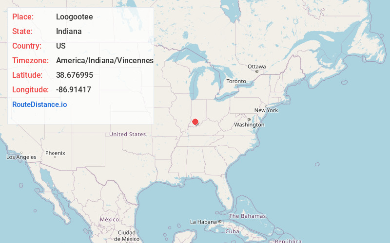
Full AddressLoogootee, IN 47553
-
Coordinates38.6769945, -86.9141695
-
LocationLoogootee , Indiana , US
-
TimezoneAmerica/Indiana/Vincennes
-
Current Local Time7:28:04 AM America/Indiana/VincennesThursday, June 19, 2025
-
Page Views0
About Loogootee
Loogootee is a city in Perry Township, Martin County, in the U.S. state of Indiana. The population was 2,601 at the time of the 2020 census.


Nearby Places
Found 10 places within 50 miles

Washington
14.0 mi
22.5 km
Washington, IN 47501
Get directions

Jasper
19.8 mi
31.9 km
Jasper, IN
Get directions

Bicknell
22.3 mi
35.9 km
Bicknell, IN 47512
Get directions

Mitchell
24.1 mi
38.8 km
Mitchell, IN 47446
Get directions

Paoli
25.4 mi
40.9 km
Paoli, IN 47454
Get directions

Huntingburg
26.2 mi
42.2 km
Huntingburg, IN 47542
Get directions

Bedford
26.3 mi
42.3 km
Bedford, IN 47421
Get directions

Linton
28.2 mi
45.4 km
Linton, IN 47441
Get directions

Vincennes
33.1 mi
53.3 km
Vincennes, IN 47591
Get directions

Sanders
35.2 mi
56.6 km
Sanders, Smithville-Sanders, IN 47401
Get directions
Location Links
Local Weather
Weather Information
Coming soon!
Location Map
Static map view of Loogootee, Indiana
Browse Places by Distance
Places within specific distances from Loogootee
Short Distances
Long Distances
Click any distance to see all places within that range from Loogootee. Distances shown in miles (1 mile ≈ 1.61 kilometers).